Showing posts with label Archaeology. Show all posts

Monday, August 26, 2013

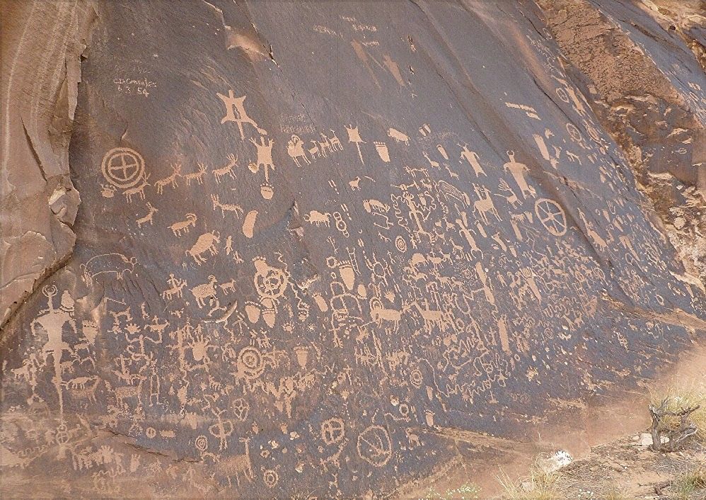
While driving from Colorado into Utah up to Arches National Park, I stopped to see a few places.  About 12 miles off the main drag (US 191) is Newspaper Rock, a large rock panel inscribed with literally hundreds of petroglyphs, created by people of the Archaic, Anasazi, Freemont and Anglo cultures.  It is now either a National Historical Site or a State Historic Monument, depending on which Internet page you read.

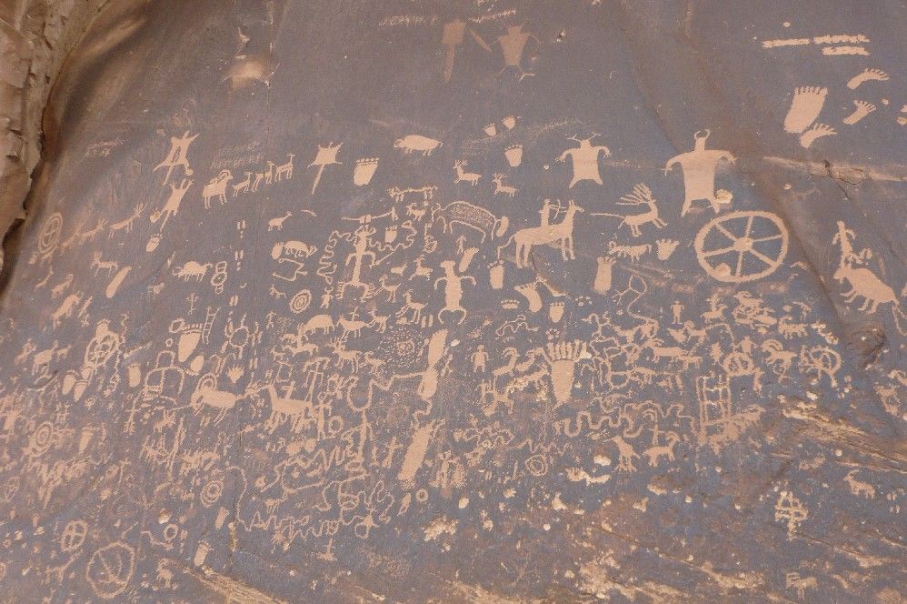
Here's another shot from a different angle:

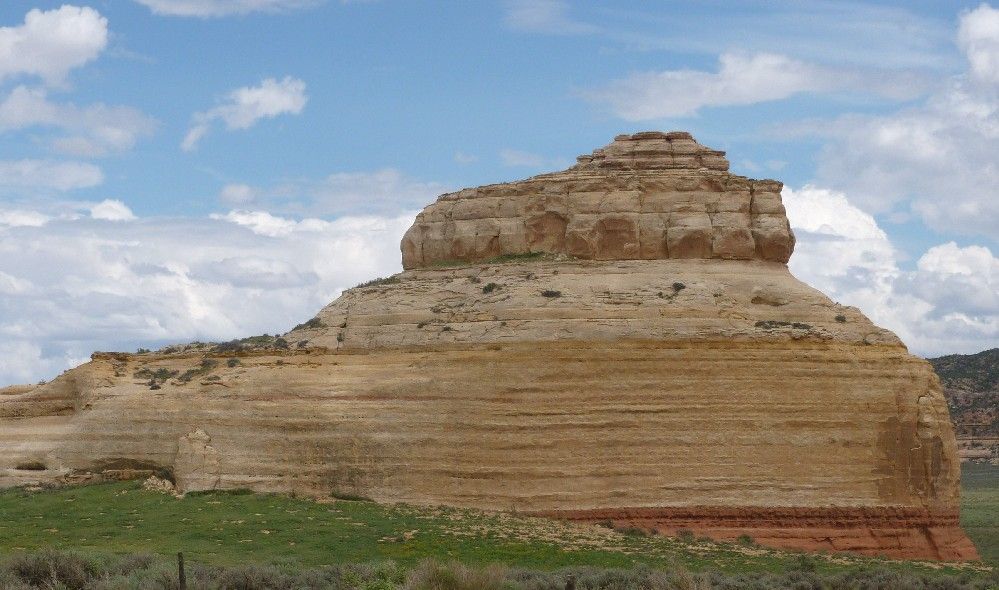
Near the intersection of US 191 and Utah 211 (the side road that leads to Newspaper Rock, and to one entrance of Canyonlands National Park) is Church Rock, so named because of a story about a utopian community allegedly having plans to hollow part of it out and use the resulting space as a church.

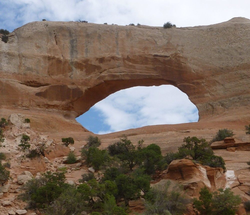
Further on up US 191, but well to the south of Arches NP is Wilson Arch.

Saturday, August 24, 2013

Hovenweep is a National Monument that comprises six groups of Ancestral Pueblo buildings, located within Utah and Colorado.  The largest is the Square Tower group, which are strewn around and within Little Ruin Canyon, on the Utah side of the state line.  A short trail leads from the nearby visitor's center and connects to a 2 mile-long circuit trail that passes near most of the ruins that are above the canyon, and includes a section within the canyon.  The builders of the Hovenweep sites are thought to be people of the Mesa Verde branch of the Ancestral Pueblo culture, also known as the Anasazi.

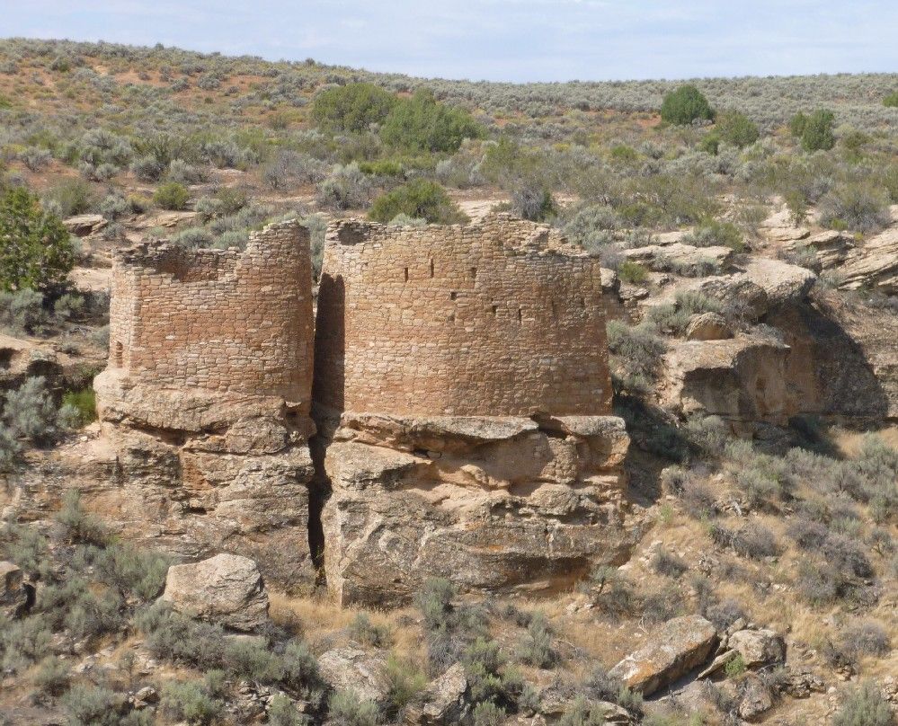
After leaving Lowry Pueblo, I found a road sign that pointed south toward Hovenweep.  I turned onto a road that was just as unpaved as the one leading to Lowry.  Fortunately, after a mile it connected to a paved road that led the rest of the way to Hovenweep, about 20 more miles.  Although definitely "off the beaten path", Hovenweep still had a number of visitors when I was there.  I took this shot of the buildings called the Twin Towers from across the canyon.

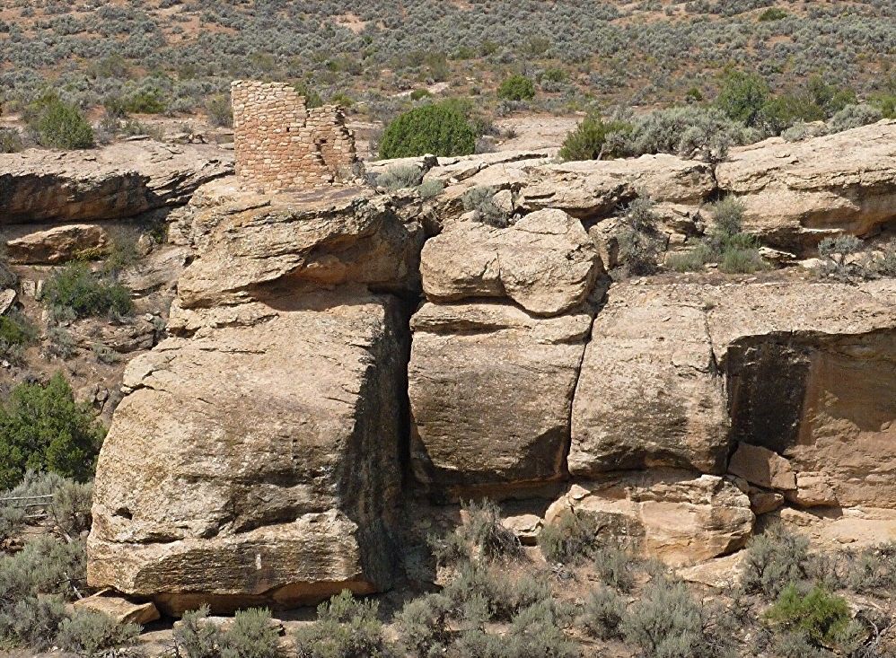
Tower Point stands above the canyon wall.

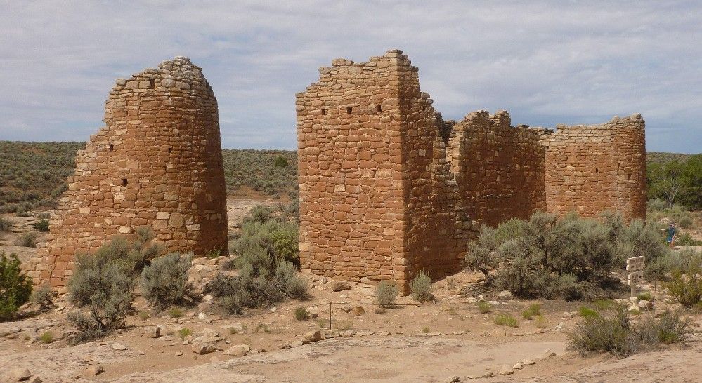
These buildings are collectively known as Hovenweep Castle.

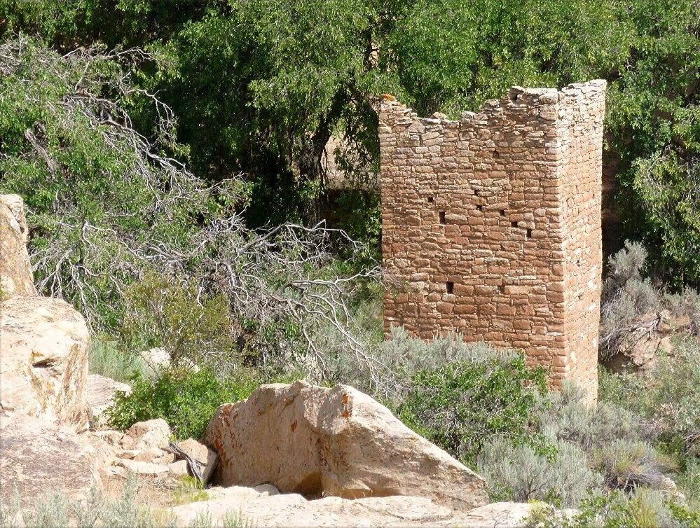
Square Tower, after which this group is named, sits within Little Ruin Canyon.

Friday, August 23, 2013

Lowry Pueblo is located in southwestern Colorado, within the Canyons Of The Ancients National Monument, and is reached by a nine mile-long side road going west from U.S. Highway 491.  Only about the first three miles are paved, so driving there takes a bit of patience.  Lowry was a Chacoan outlier, and would have been near the northwest corner of the Chaco Culture area.  The pueblo includes a multi-roomed great house and separate great kiva.

Lowry was the third and last place to which I made a return visit.  Its modern facilities were very simple, including two restrooms, a few picnic tables, a paved walkway around the great house and another walkway leading to the great kiva.  The was no place to pay an admission fee, and no one to pay it to.  I had the site all to myself.

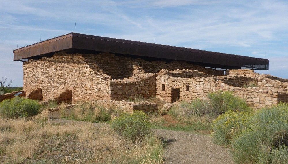
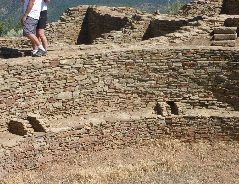
Here's a view of the Lowry great house from a point along the walkway.  Part of the great house has been given a protective cover.

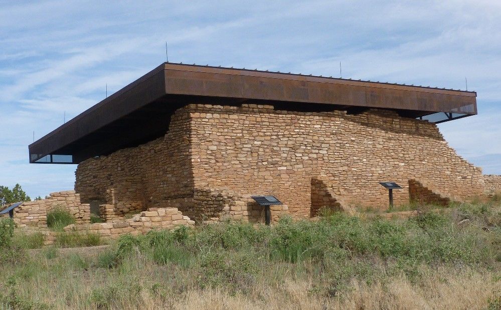
Here's the covered section from a different viewing point.  Part of the covered section is accessible.  Note the T-shaped opening at the left.

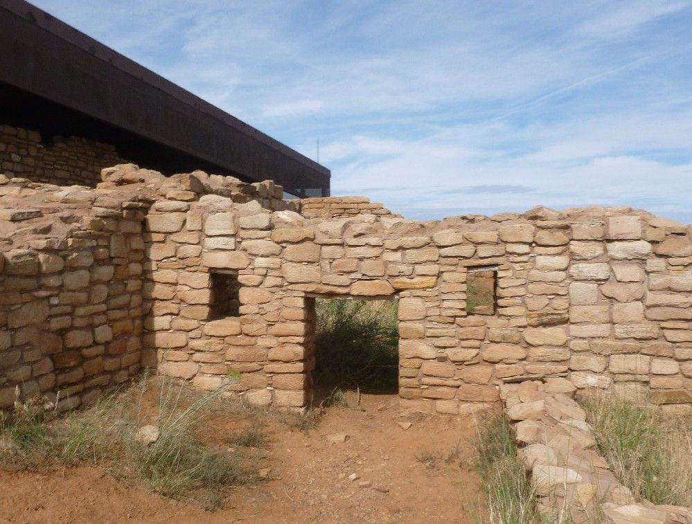
I had to crouch down to get through this door.  The original floor was probably several feet lower than it is now.  Note the smaller openings at either side of the door.

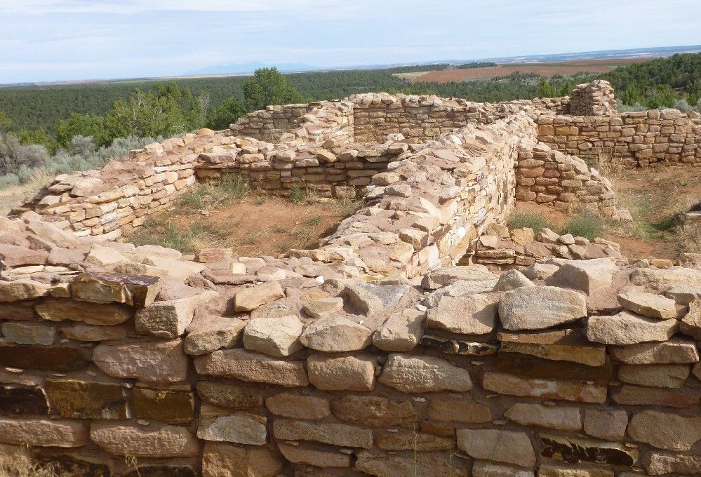
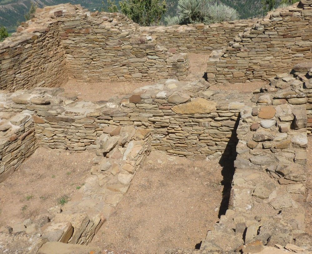
Once past the door, I could see the uncovered section of the great house.

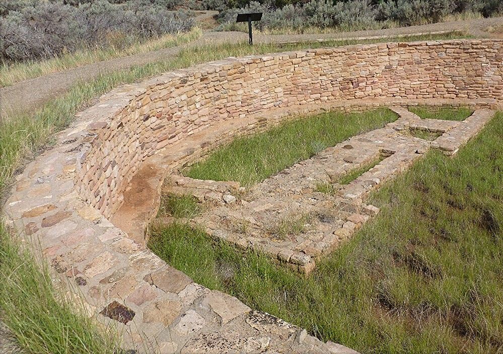
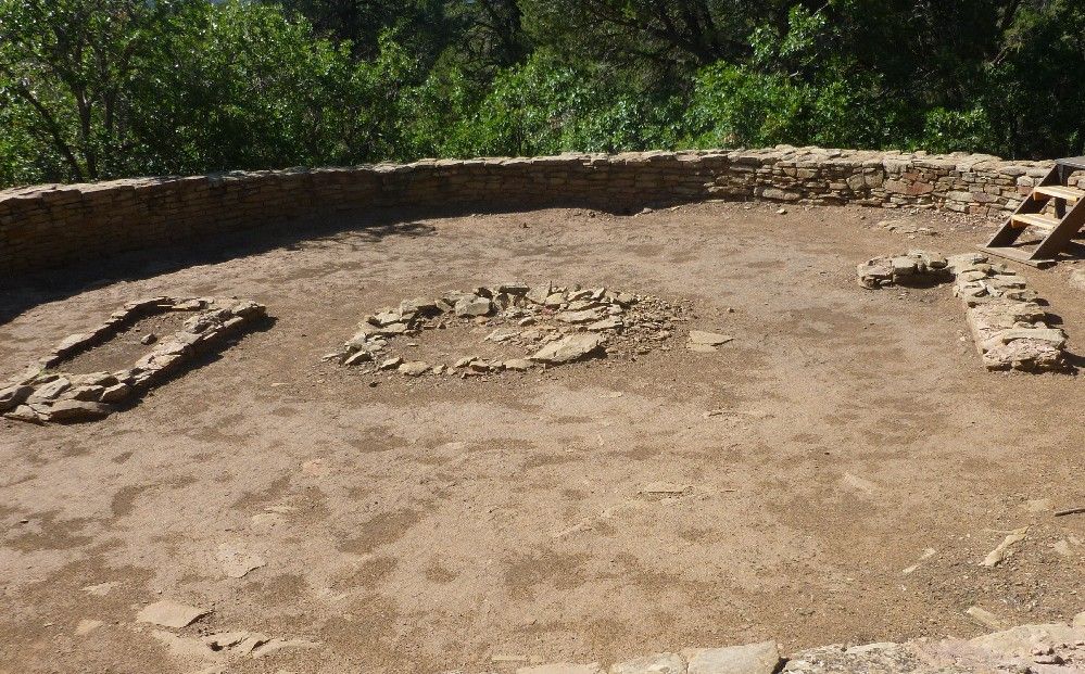
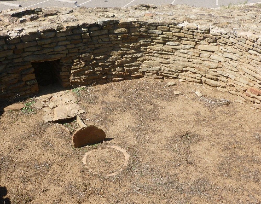
The great kiva was too large to conveniently fit into a single photo, especially if I wanted to show the structures on its floor.  This next picture shows the part that is closer to the great house.

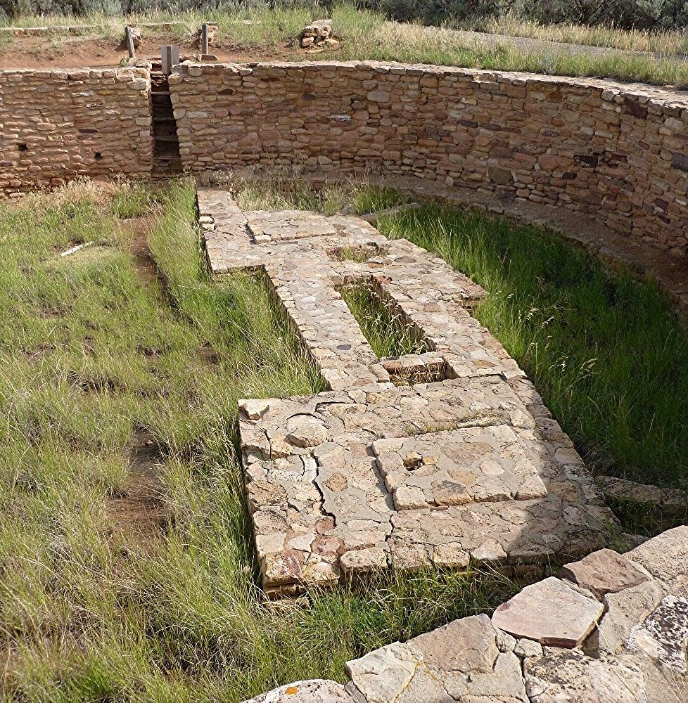
The last picture shows a section of the kiva that is opposite the great house.

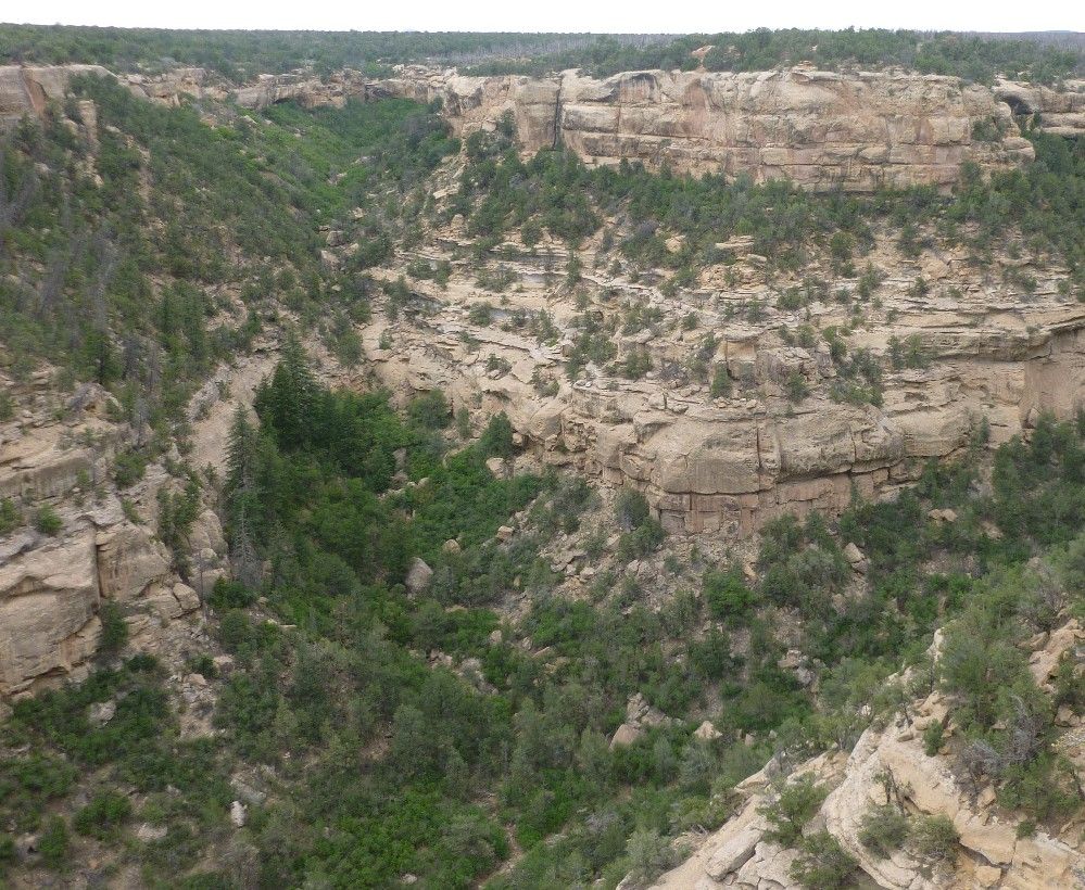
After leaving Cliff Palace, as told in Part 2, I went off to see other sights within Mesa Verde National Park.  South of Cliff Palace, which is on the east side of Cliff Canyon, is an overlook from which another part of the canyon may be seen.

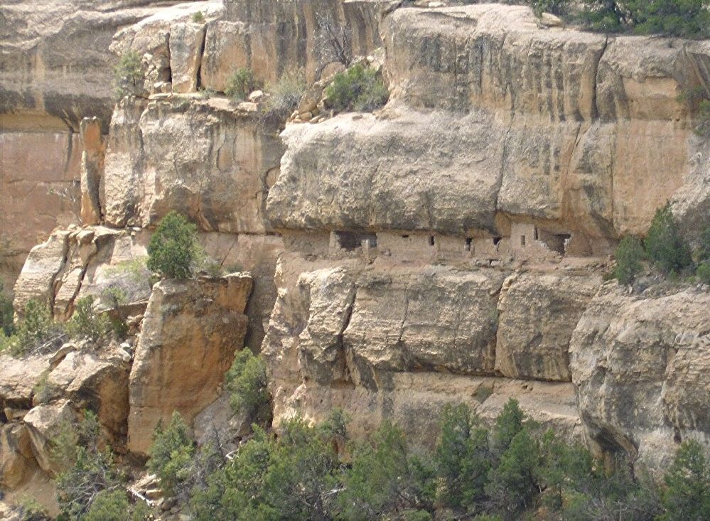
The House Of Many Windows overlooks the west side of Cliff Canyon.  I was able to get a pretty decent shot from the east side.  This site is located between two rock overhangs, and reminds me of some of the cliff houses in Walnut Canyon National Park in Arizona.

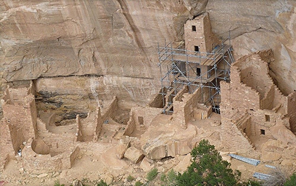
In another alcove on the east side of Cliff Canyon is Square Tower House, which appears to be undergoing some preservation work.

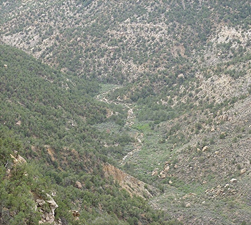
Near Square Tower House is another section of Cliff Canyon.

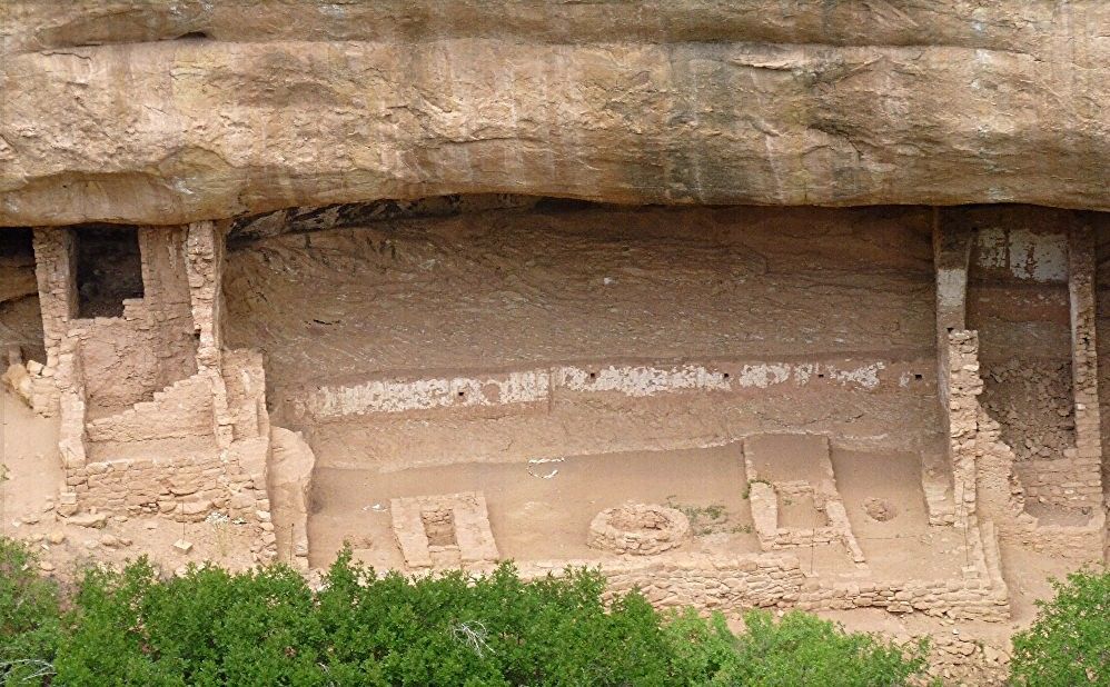
On the west side of Fewkes Canyon, which branches off from Cliff Canyon, is Fire Temple.  This is one section of it, including some walls that reach to the alcove roof.

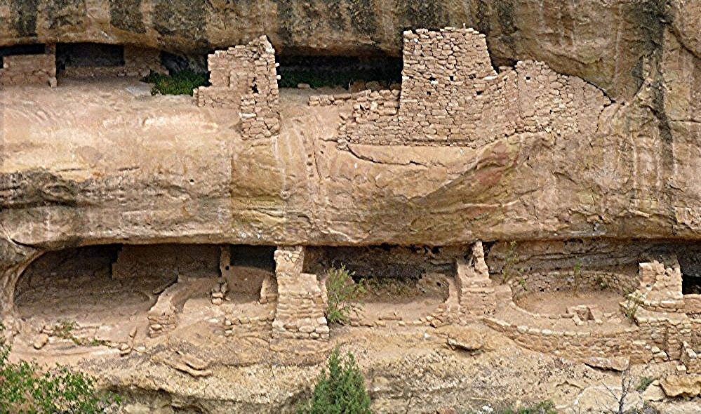
Another section of Fire Temple includes two levels of dwellings in two alcoves spaced vertically from each other.

Sun Temple is above the west side of Cliff Canyon, on the adjacent mesa.  It is believed to have been one of the more recently built sites in the park, and is thought to be unfinished because no roofing materials have been found in or near it.  This view shows one side of Sun Temple,

Wednesday, August 21, 2013

As I mentioned in Part 1, the most famous site in Mesa Verde National Park is arguably Cliff Palace, situated in an alcove above Cliff Canyon.  Cliff Palace can only be visited by a guided tour, for which there is a charge separate from that for entering the park.  Fortunately, the tours start every half hour, and only cost three dollars.  The tour involves quite a bit of walking, stair climbing, and even ladder climbing.  Entering the alcove requires walking down a flight of a dozen or so regularly spaced metal stairs, followed by rock steps having irregular vertical distances between one and the next.  Thankfully, metal railings run along most of the rock stairway, providing a useful handhold.  The stairway gives way to a relatively level paved path, but entering the pueblo itself requires ascending a wooden ladder, made in the same style as those of the old inhabitants, but thankfully of much newer wood.  The walkways within the site are easy, involving only an occasional set of rock steps.

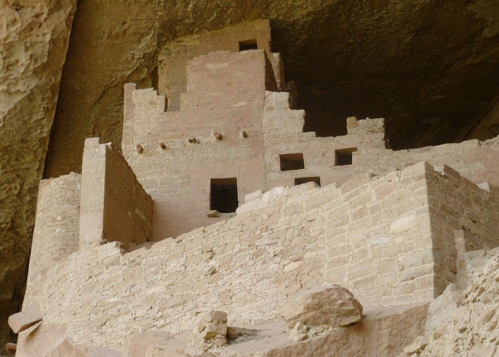
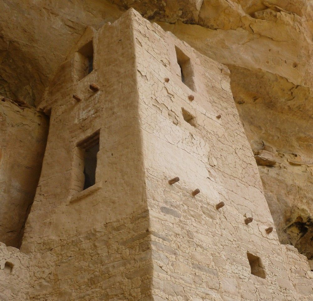
Here is one of the multistory buildings in Cliff Palace.  The wooden beams, whose ends protrude from the walls, divide one level from the next.

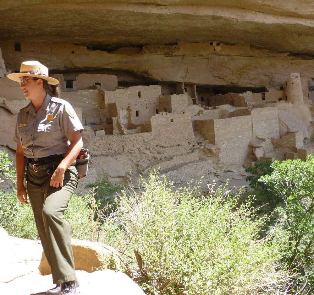
This shot shows a partial panorama of the site, with our tour guide in the foreground.

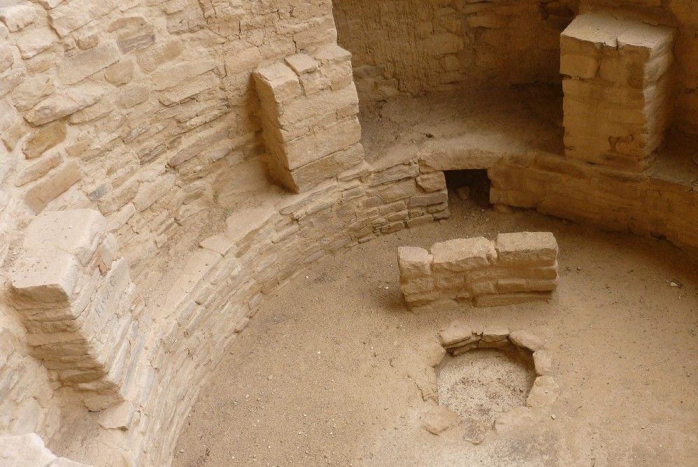
This kiva, like one I saw at Chimney Rock, includes a central circle where a fire was kept, an air ventilation hole, a stone baffle to keep the incoming air from blowing directly on the fire, and several stone structures along the wall, which supported the wooden posts that held up the roof.

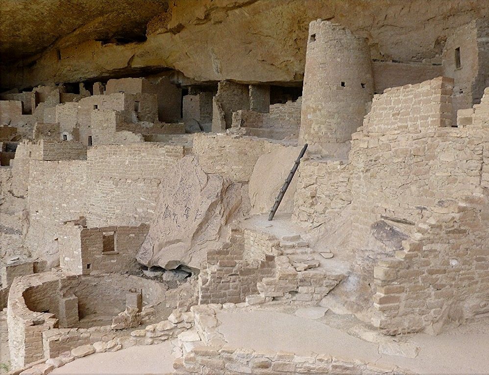
Another partial panoramic shot shows another kiva and a round tower, among other buildings.  Some of the walls extend up to the roof of the alcove.

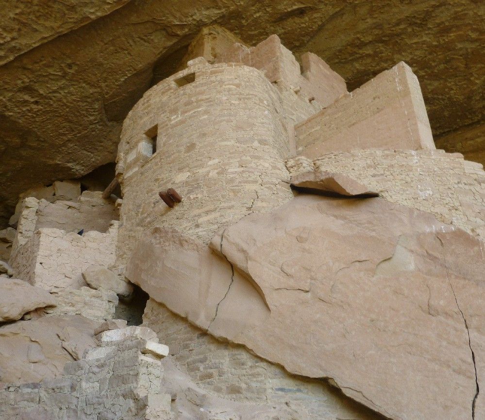
This is another multistory building, which appears to incorporate a large chunk of rock right where it stood.

This trapezoidal multistory building is located above the kiva shown above.

To finish the tour and leave Cliff Palace, we had to climb up a combination of rock steps and four more wooden ladders, ranging from 8 to 10 feet in height.  The total vertical distance between the walkway within the site and the parking lot above is about 100 feet.

After Cliff Palace, I found some other places in Mesa Verde that seemed worthy of a brief visit.  Those will be shown in Part 3.
Mesa Verde in southwestern Colorado is one of the few National Parks whose main attractions are man-made.  The park features numerous structures built by the Ancestral Pueblo people, also known as the Anasazi, specifically the cultural branch or "province" known as the Northern San Juan or Mesa Verde.  The name "Mesa Verde" means "green table" in Spanish, and also refers to the land itself, which comprises steep canyons and relatively flat mesas above and between them.  The canyon walls include overhangs, the spaces beneath them forming alcoves, in which many of the pueblos within the park were built.  The park's arguably most famous settlement is Cliff Palace, built in an alcove above Cliff Canyon.  There are also pueblos on the mesas, most of which are thought to have been built earlier than those in the canyon alcoves.

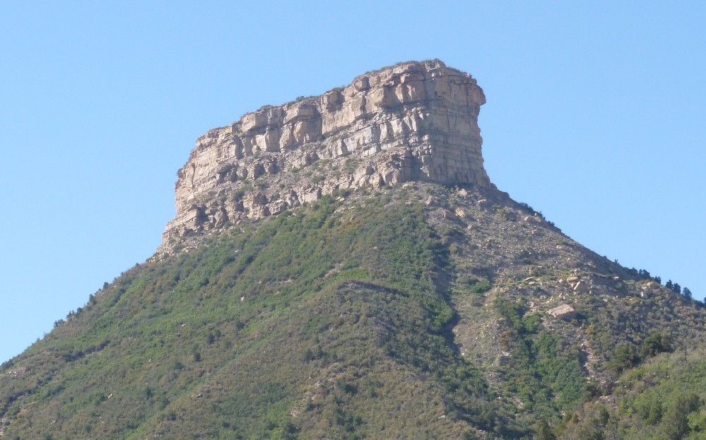
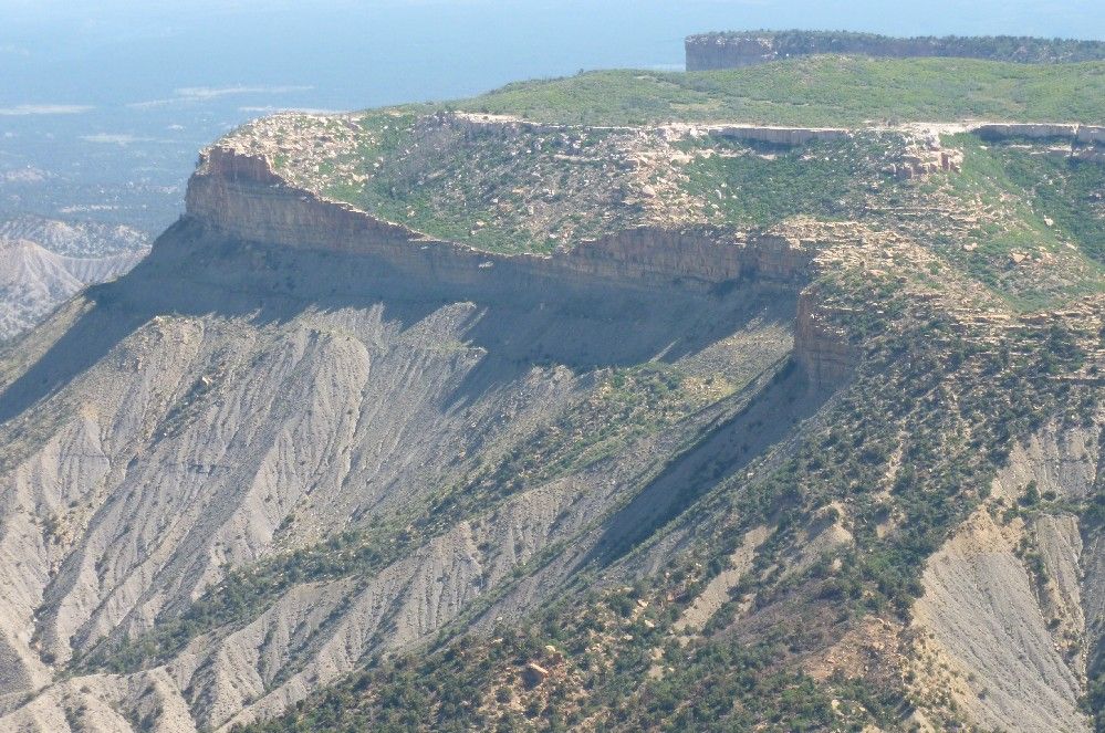
When you drive into the park, the first prominent feature you see is this butte:

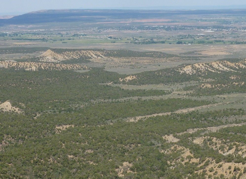
The Montezuma Valley toward the northwest can be seen from an overlook along the road.

The rock formation casting the shadow in the next picture is called the Knife Edge.

Along the road leading southward toward the Cliff Palace is a group of pueblos called Far View.  One of these is called Far View Tower House, because it includes a round above-ground building.  Next to it are two kivas, which include an outer notch called a "keyhole".  This style is fairly common for kivas in Mesa Verdean sites, but has also been found in a few Chacoan sites, indicating either some degree of cultural influence or perhaps Mesa Verdean occupation of sites previously vacated by Chacoans.

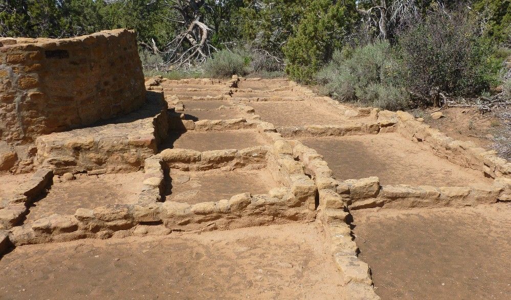
On the side of the round building away from the kivas are these rectangular rooms:

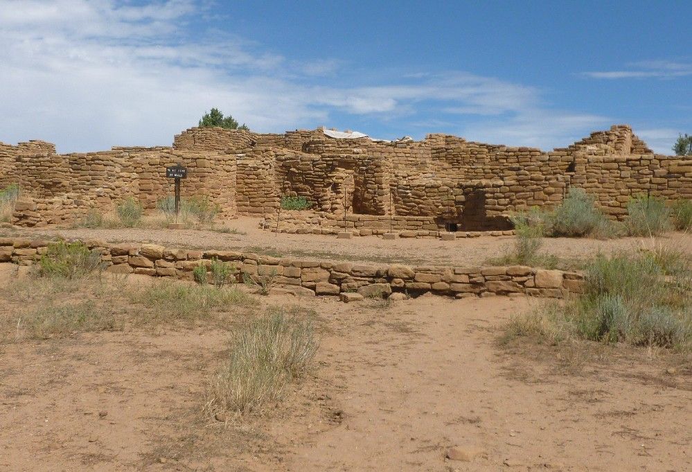
Far View House is the largest of the Far View sites.

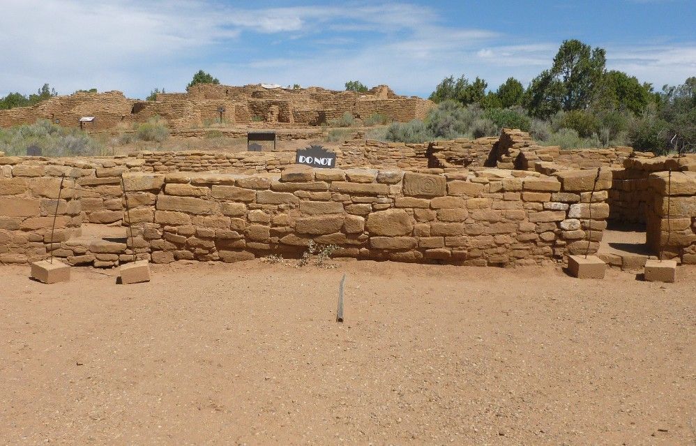
Next to Far View House is Pipe Shrine House.  In this shot, Pipe Shrine House is in front of and slightly below Far View House.  I think that the next word on the modern sign, after "DO NOT", is "ENTER".


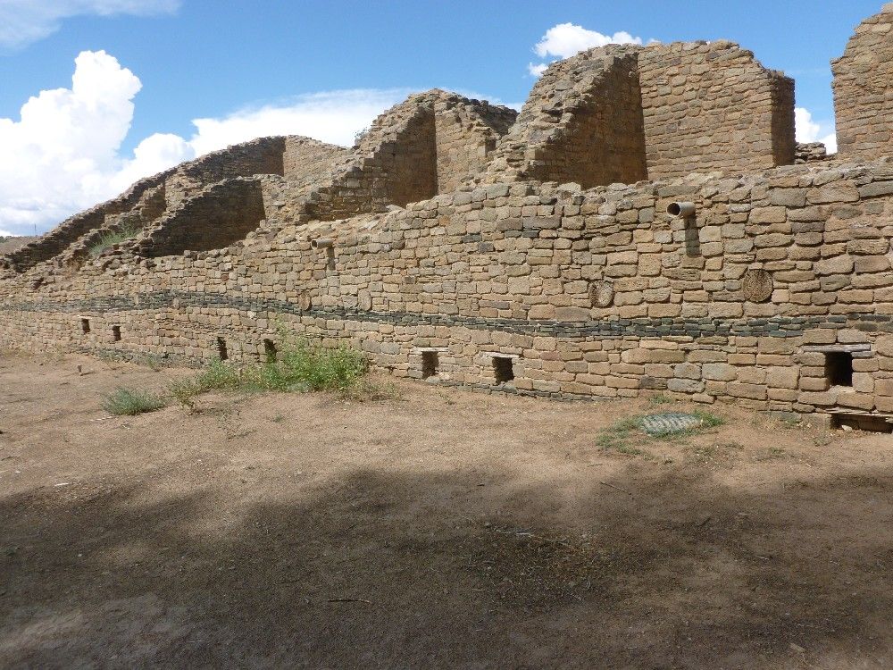
The Aztec Ruins are a National Monument within the town of the same name in northern New Mexico.  The name "Aztec", however, is a misnomer for both the ruins and the town.  White settlers mistakenly thought that the ruins had been constructed by the well-known Aztecs of Mexico, so the name stuck, even though the place has nothing to do with the real Aztecs.  The Aztec Ruins were built by Chacoan people, but their descendants eventually left this pueblo.  The site was later reoccupied by people of the Mesa Verde culture.  The site includes two large buildings, called the West Ruin, which is open to the public, and the East Ruin, which is still mostly unexcavated.

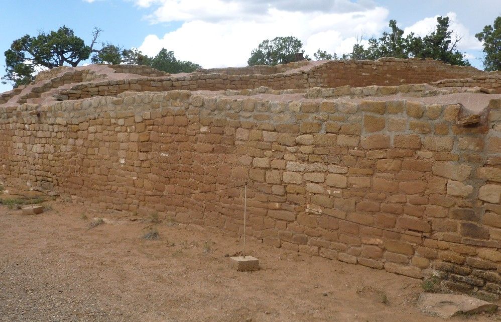
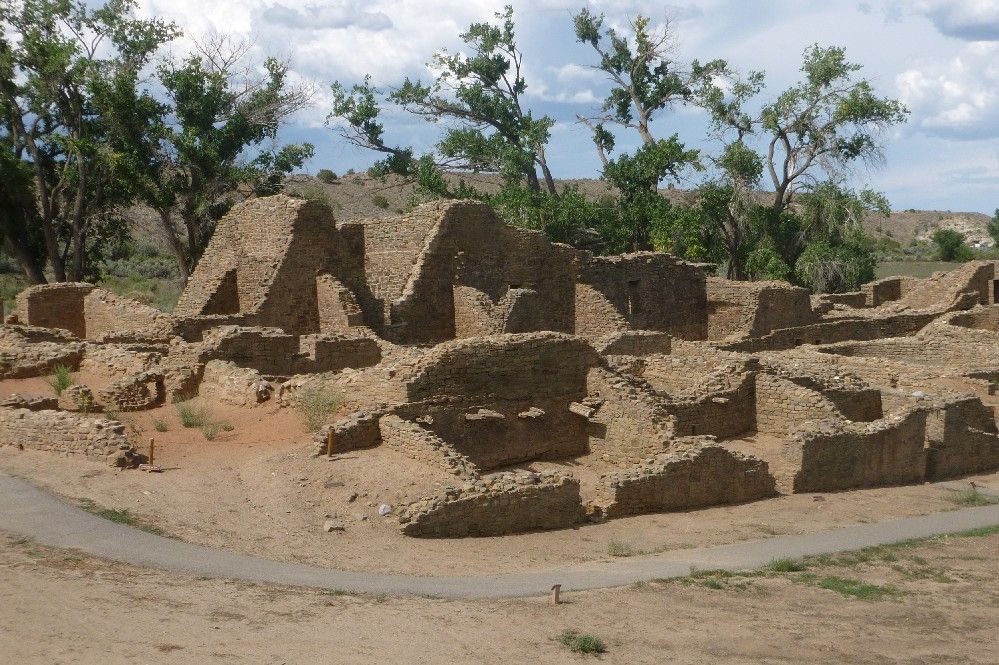
This is a large section of the West Ruin:

The western wall of the West Ruin includes a band of dark green stones.

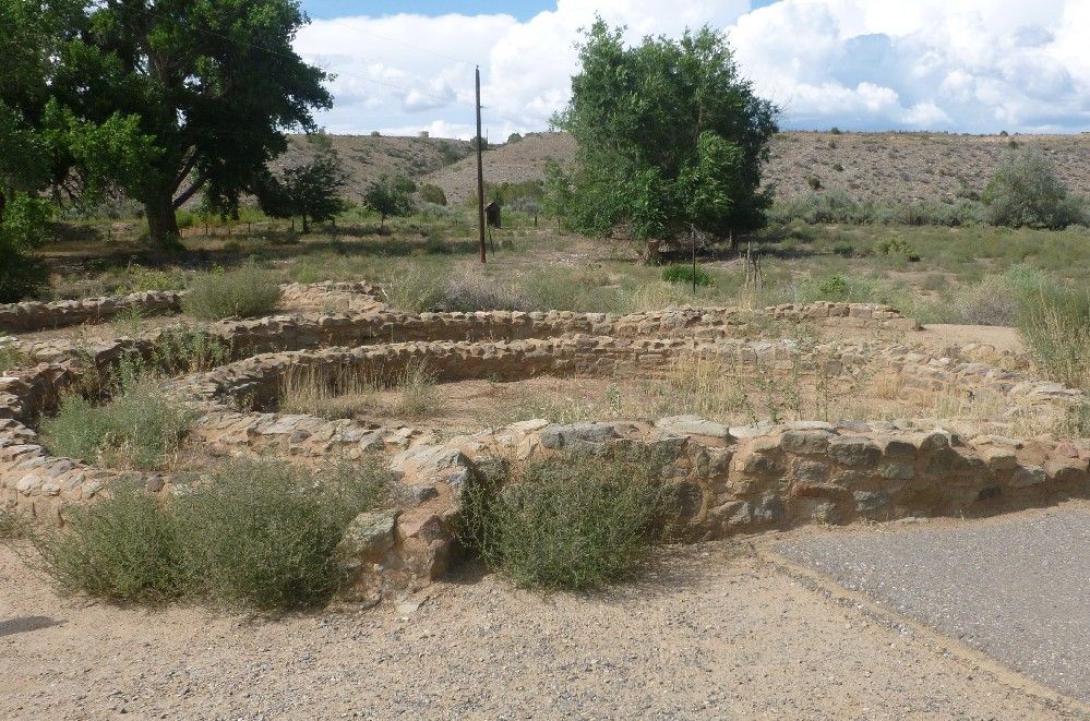
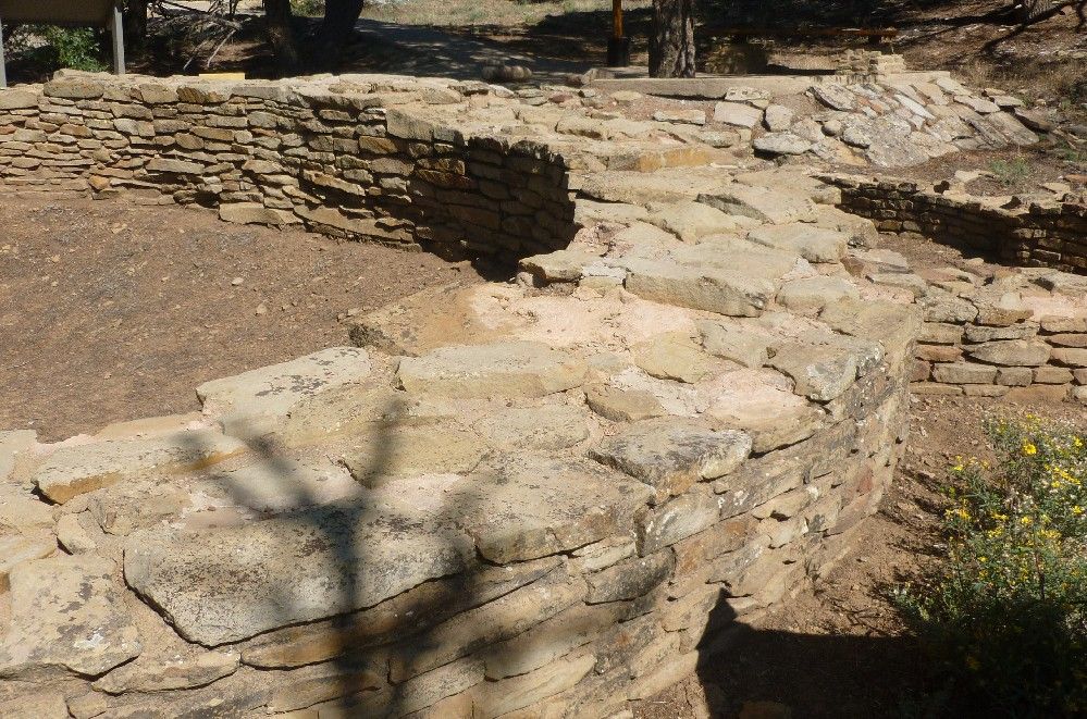
As with Chimney Rock, this was a return visit eight years after the first.  I don't think the structure in the next picture had been open to the public during my first visit.  It is the remains of a circular building with three concentric walls, and is located a hundred or so feet northwest of the West Ruin.

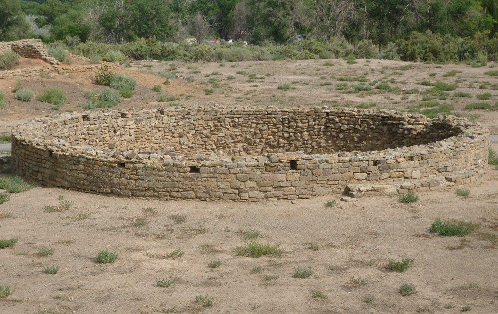
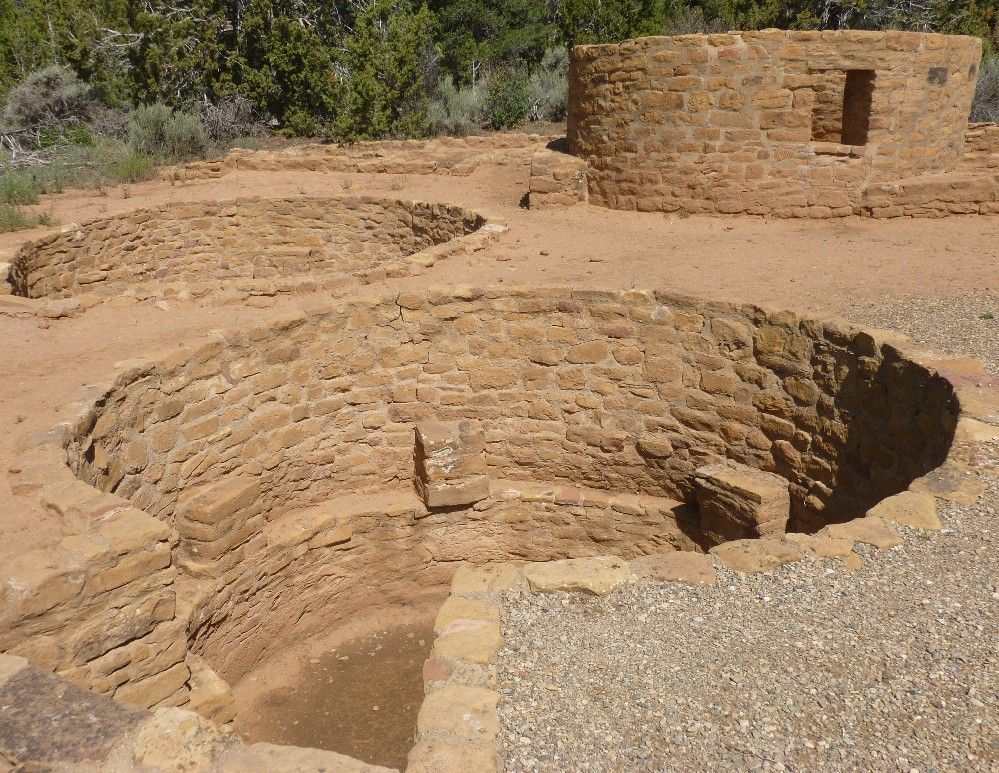
This is the smaller of two kivas that are in a plaza next to the West Ruin:

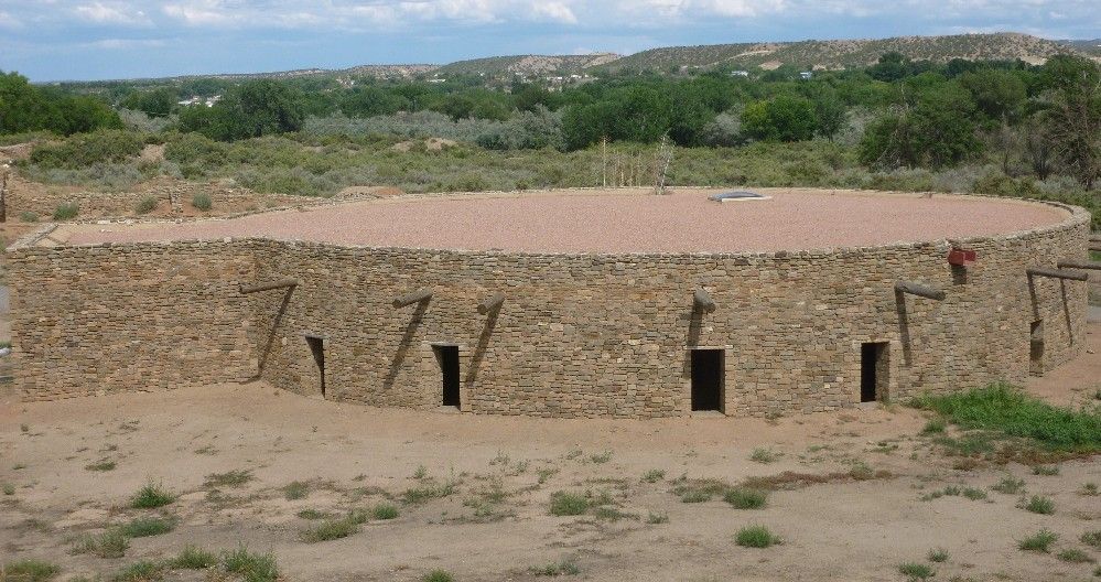
The larger kiva, known as the Great Kiva, has been reconstructed in an attempt to restore its original form and appearance.  Notice the wooden beams sticking out of the circular wall.

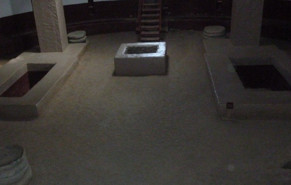
The inside of the Great Kiva was also reconstructed, except for the square columns replacing wooden poles, which each rested on a stack of four round flat stones, which were left on the floor.

Tuesday, August 20, 2013

Chimney Rock is the name a rock formation, a nearby Ancestral Pueblo village, and the National Monument which includes both, located near the intersection of Colorado highway 151 and U.S. highway 160.  The site is generally considered by archaeologists to be an outlier of the culture centered in Chaco Canyon, located in northern New Mexico.  Chimney Rock and some nearby related settlements would thus form the northeast corner of the Chaco Culture area.  The Chaco, in turn, is considered to be one of three "provinces" of the Ancestral Pueblo, or Anasazi culture, the latter term sometimes frowned upon by their modern descendants.

During my first visit to Chimney Rock in 2005, I saw that the area was largely forested, and thus had to rethink my previous conception of the Anasazi as being desert-dwellers.  This time I pretty much knew what to expect, but still wished to make a return visit.  I was lucky enough to arrive about 10 minutes before the start of a guided tour.  After checking in at the small visitor's center, the other visitors and myself were given the option of driving the two and a half-mile road to the upper parking lot, or riding with the guide.  I chose the latter option, gladly leaving my rented car in the lower area.

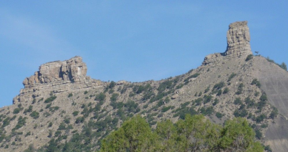
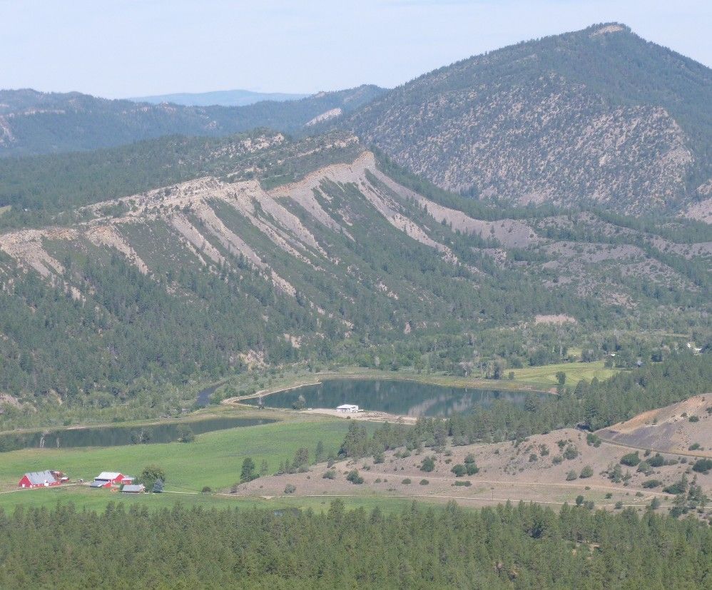
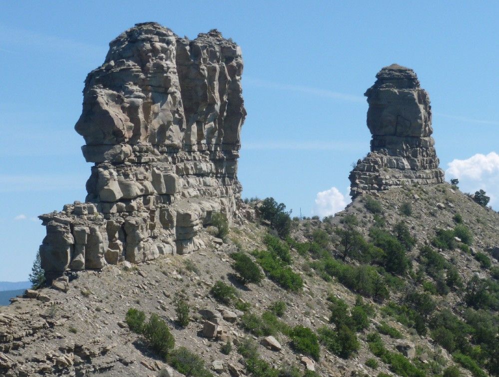
Before arriving, I took this first picture from just off state highway 151.  To the right, the taller rock formation is Chimney Rock.  The formation to the left is Companion Rock.


From the upper parking lot, a paved trail leads around the lower village.  This is the interior of the kiva in the lower village.

Some of the walls of a house in the lower village:

The area known as the lower village is still above most of the surrounding landscape.  Here's the view facing northwest:

Just above the upper parking lot is another kiva.  The interior of this one includes a hole in the side wall, used to provide air to a fire burning in the small circle in the center of the floor.  The upstanding rock (seen mostly on its shaded side) next to the circle kept air from blowing directly on the fire and putting it out.  Such features were fairly common for Chacoan kivas.

We hiked to the upper village on a trail that led uphill along the narrow ridge line, with steep drops on either side.  Fortunately, the ridge widened out around the upper village.  These are some rooms in the main house in the upper village.

The upper village also has a kiva, which includes a bench around the outer wall.  The two pairs of armrest-like structures were used to hold the wooden posts that held up the roof.

From the upper village, it was easy to take this shot of Companion Rock (L) and Chimney Rock (R).  The gap between the two, as seen from the upper village, is where the moon rises during its major standstill, which occurs about every 18 years.

Sunday, May 12, 2013

From Haaretz:

Archaeologists working near Kibbutz Beit Kama in southern Israel have discovered a building with water channels, pipes, water pools, and a "magnificent 1,500-year-old mosaic floor".  The building was part of a village that also included a church, a water cistern, storerooms and homes.  The village "thrived  from the 4th through 6th centuries C.E.", during which the area was under Roman and then Byzantine rule.

Read the full story.

Thursday, February 7, 2013

The country with the most known pyramids is not Egypt or Mexico, but Sudan, which during the last few years has extended its margin over its competitors.  Between 2009 and 2012, at least 35 pyramids, ranging in width from 30 inches to 22 feet, have been found in the Sudanese site of Sedeinga.  These pyramids were built about 2000 years ago by inhabitants of the kingdom of Kush, and have the same general shape as the Egyptian pyramids, after which they were modeled.  Some of the Sedeinga pyramids include an inner circular cupola structure connected by cross-bracing to its four corners.  Only one pyramid of this design has ever been discovered at any other site.
Read the story at Fox News.

Friday, December 21, 2012

It's now the evening of December 21, 2012, and the world still hasn't come to an end.  That's because it's not supposed to.  Instead, it's merely the start of the 13th b'ak'tun, a Maya calendar period consisting of 144,000 days, as explained in this article.  So now that it looks like the world will keep on going for the foreseeable future, let's take a look at things that really are going on out there.

From Delaware105.9, ABC news veteran and former White House correspondent Sam Donaldson, recently arrested for DUI, has waived his arraignment hearing.  His trial has not been scheduled.

From Fox News, later tonight and early tomorrow morning, the Ursid meteor shower will peak.  These meteors are related to comet Tuttle 8P, and appear to radiate from the constellation Ursa Minor, a.k.a. the Little Dipper.

From Human Events, the NRA addresses the Newtown massacre.

From the Daily Caller, reporters at an NRA presser are overheard mocking the NRA and praising the Code Pink protesters.

From White House Dossier, now that Susan Rice has withdrawn, President Obama will nominate Senator John Kerry (D-Mass) for Secretary of State.

From the Spiegel, a German archaeologist working in Yemen has found evidence of a tribal confederation centered on the city of Zafar.

From Yahoo Finance, the U.S. Bureau of Engraving and Printing has been producing a much higher than usual amount of $100 bills.

From ARRA News Service, Congressman-elect and Iraq combat veteran Tom Cotton (R-Ark) gives his opinion on the possible nomination of former Senator and Vietnam combat veteran Chuck Hegel (R-NH) for Secretary of Defense.

From Gateway Pundit, at the funeral of Senator Daniel Inouye (D-HI), former Hawaii resident Barack Obama talks for ten minutes about himself.

From The Foundry, the twelve days of Obamacare surprises, including more cuts to Medicare.

From the IPT, the president of the Al Haya Party in Egypt claims that American diplomats and President Obama have given Egyptian secular democrats a "cold shoulder".

From MSNBC, the most exciting alien planets discovered in 2012.

And from SFGate, sirens in Denver are not a doomsday signal.  They are only a test.

Sunday, September 16, 2012

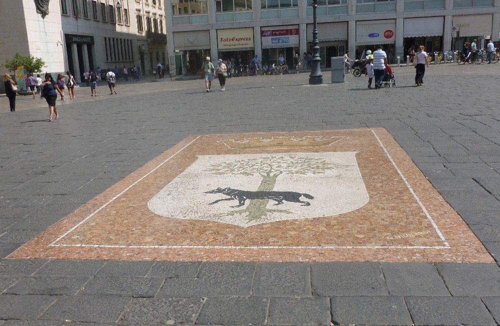
After our visit to Lecce's Basilica di Santa Croce (see Part 1), our tour group proceeded to the city's main square.  Within the square was the city's emblem, which is based on its past and present names.  The Romans called this place Lupiae, which is derived from lupa ("she-wolf").  The modern name is derived from that of an oak tree.  Thus, the emblem depicts both the wolf and the oak.


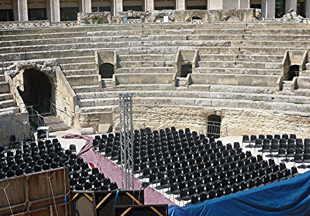
Also within the main square is the excavated half of a Roman amphitheater.  It appears that some modern seating has been added.

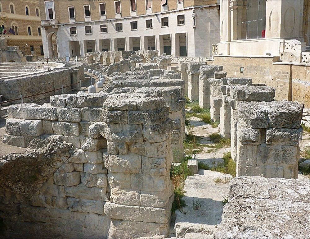
Around the perimeter of the amphitheater are these stone structures:

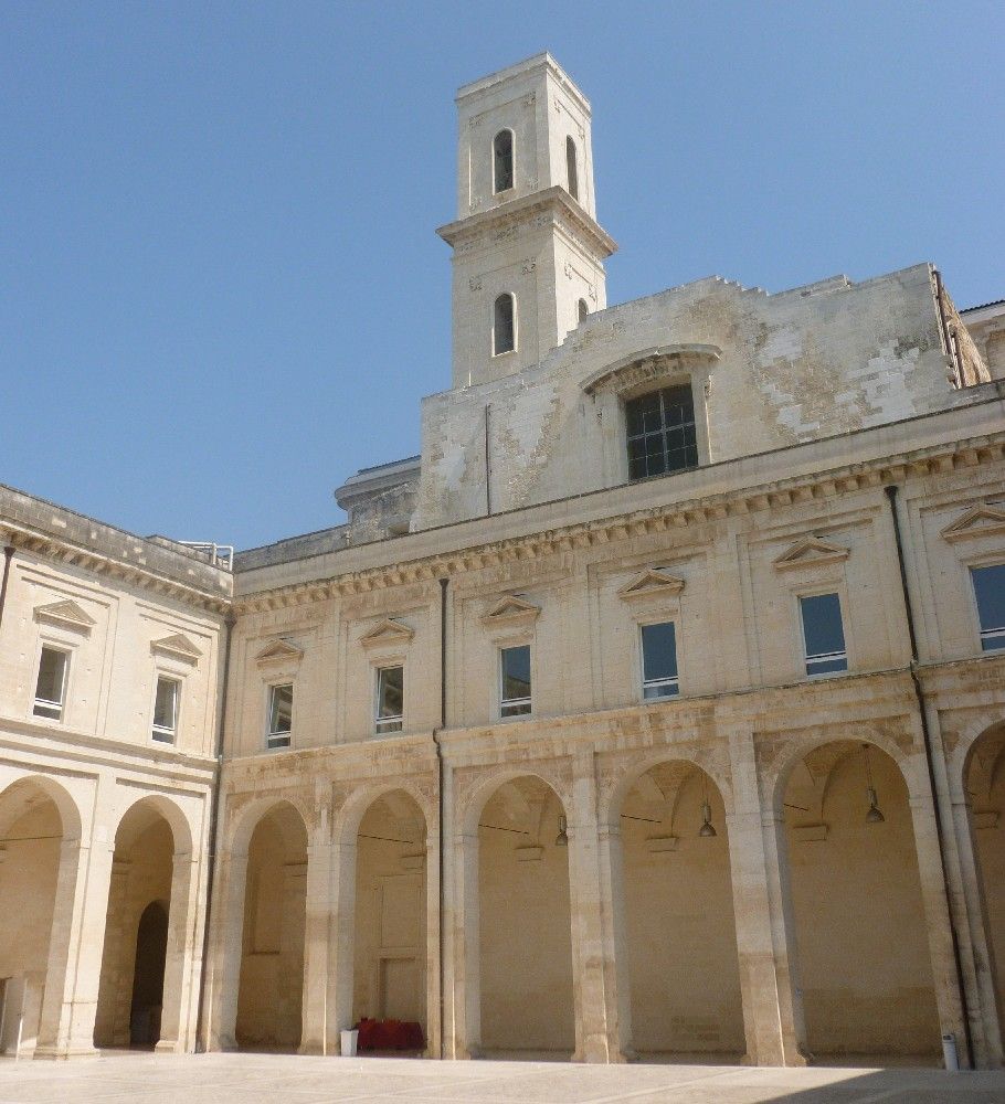
During some free time, I wandered off on my own, and found this courtyard:

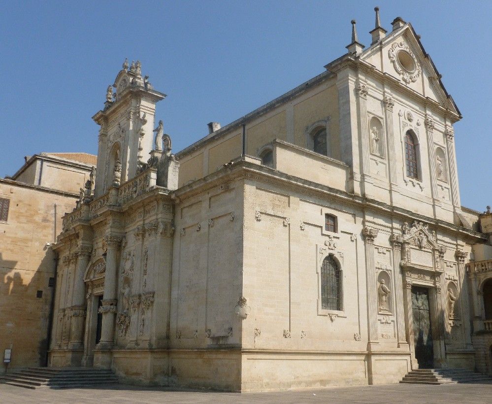
I also found the duomo (cathedral).

After a change in direction, I found a fountain that included some organ pipes.

After all this sightseeing, we had a pizza lunch at Il Ristoro dei Templari, and then headed off to our next destination.
Big Foots Place BlogThe owner of this website is a participant in the Amazon Services LLC Associates Program, an affiliate advertising program designed to provide a means for sites to earn advertising fees by advertising and linking to Amazon properties including, but not limited to, amazon.com, endless.com, myhabit.com, smallparts.com, or amazonwireless.com.