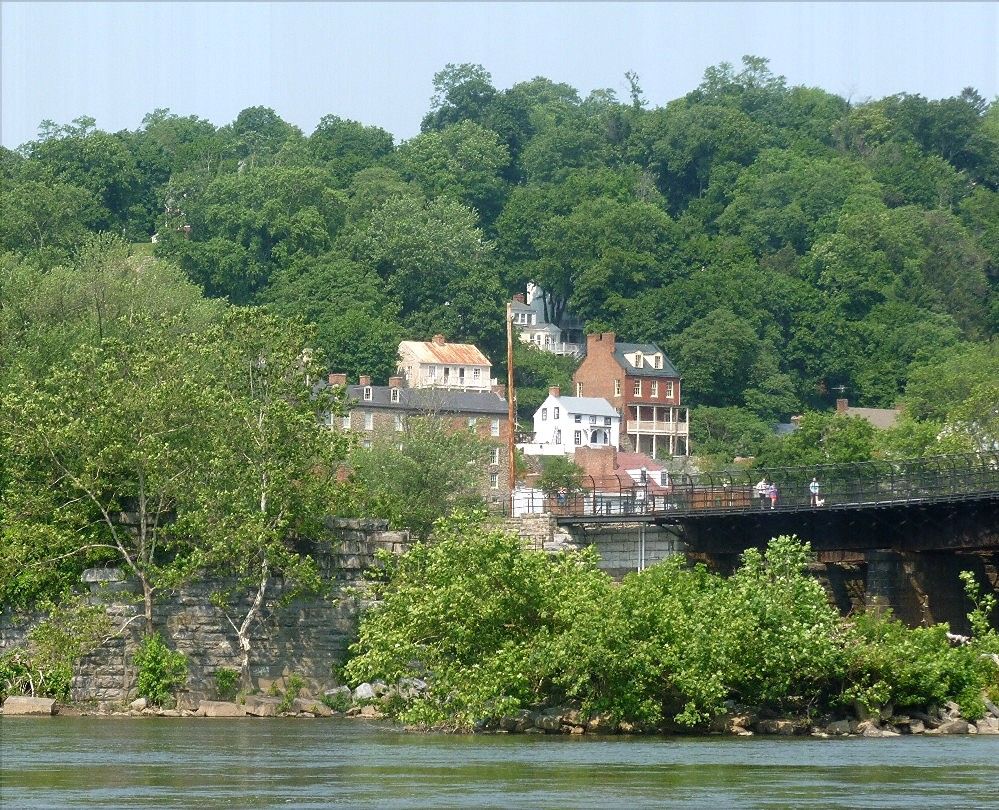
Looks like I've finally gotten to the end of my photos from my trip southward. These are from Mississippi, the last state we went through before heading home.
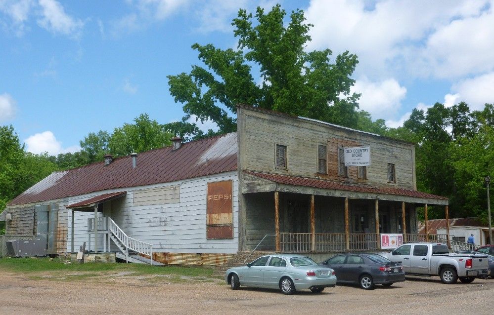
On US highway 61, just north of Lorman, is the Lorman Country Store, which sells many kinds of antiques and memorabilia, and offers a buffet lunch. If you like to stuff yourself with some good old Southern-style food, this is the place to go.

To the east of Lorman is an old run-down house that was the center of a plantation known as Prospect Hill. Some of the slaves at Prospect Hill were allowed to go to Africa to help establish what would become the country of Liberia. Their story is recounted by author Alan Huffman in the book Mississippi In Africa. This is one side of the house.

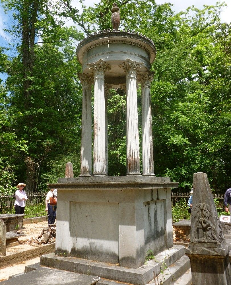
The interior of the house is also in bad condition. The basement is full of worn-out junk, including three ruined pianos, with a fourth on the main floor. Behind the house is a small graveyard, including this monument.

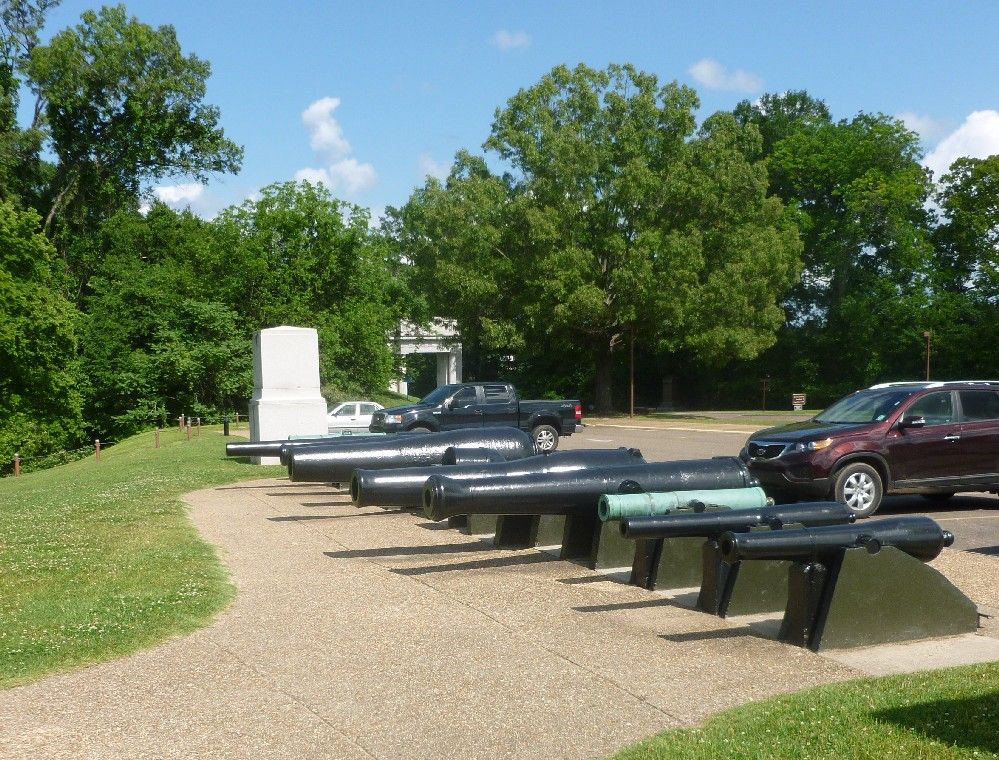
After leaving the Lorman area, we went up to Vicksburg, known for being taken by Union forces during the Civil War, after a long siege. The outskirts of the city, where most of the fighting occured, are now preserved as a National Military Park, which is strewn with monuments to the soldiers who fought there. Like other prominent Civil War battlefields, the monuments are mainly identified with each state that was represented in the battle. There was no opportunity to take pictures of most of the monuments, but before we went into the park, I found this row of cannons next to a parking lot.

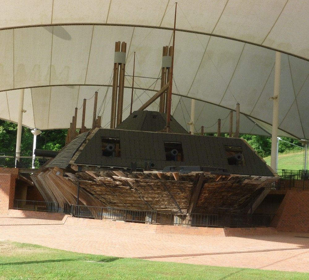
Vicksburg Military Park includes the remains of the USS Cairo, one of the earliest ironclad ships. The outer frame of the ship is a modern reconstruction, but much what is seen here was preserved in Mississippi River mud for about a century before being taken out. Here's a front view.

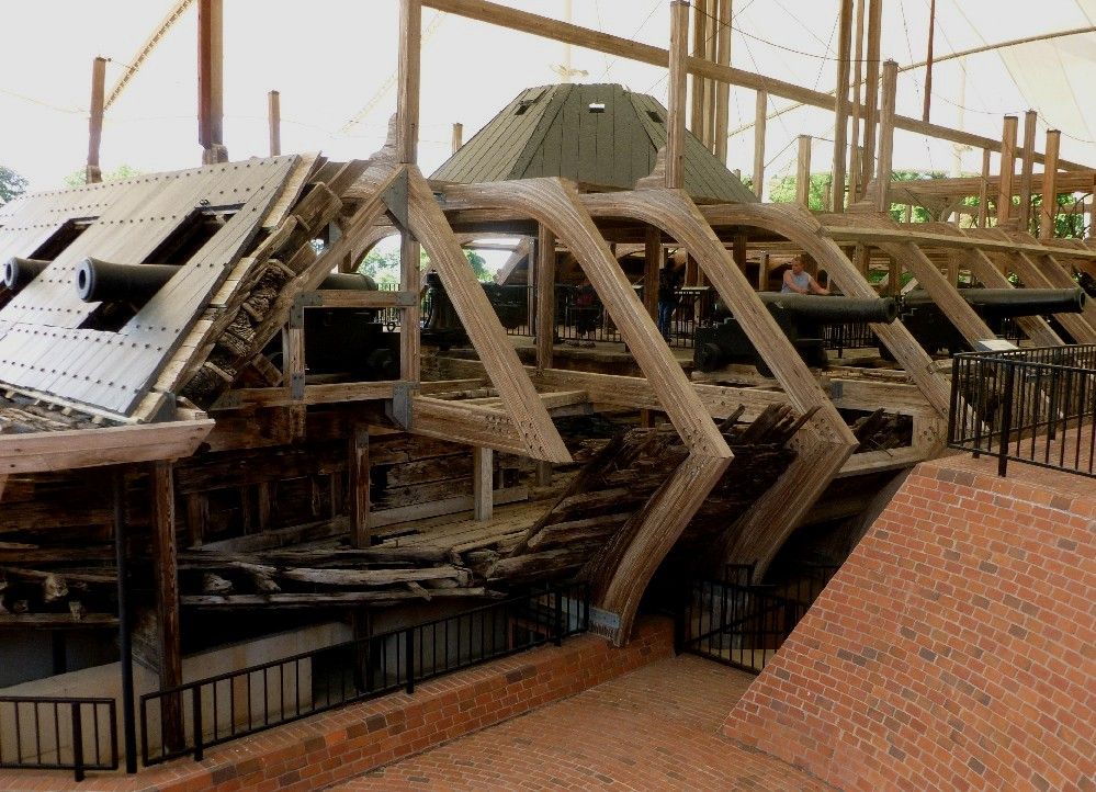
The ship can be accessed by a walkway, which is just behind the man standing next to a cannon.

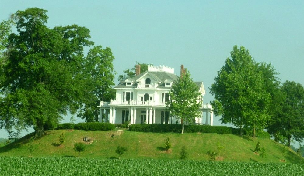
North of Vickburg, near Rolling Fork, is the house known as Mont Helena. It was built in 1896 atop an Indian mound. Today, it is used as a theater, and is also open for tours, which may come with a lunch or dinner.

In downtown Clarksdale is the Ground Zero Blues Club, a restaurant and music joint owned in part by the actor Morgan Freeman. The area north of Vickburg and between the Mississippi and Yazoo Rivers is known as the Mississippi Delta, and is widely recognized for the style of blues music that originated there.

Yes, those are couches on the front porch. Inside, customers are allowed to write on the walls. In fact, it was hard to find a place for my own small contribution.
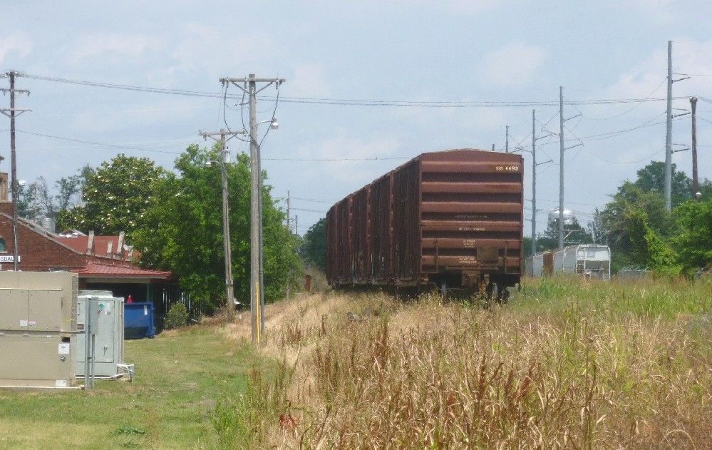
Finally, just beside Ground Zero are the railroad tracks, with a few parked railcars.

On US highway 61, just north of Lorman, is the Lorman Country Store, which sells many kinds of antiques and memorabilia, and offers a buffet lunch. If you like to stuff yourself with some good old Southern-style food, this is the place to go.
To the east of Lorman is an old run-down house that was the center of a plantation known as Prospect Hill. Some of the slaves at Prospect Hill were allowed to go to Africa to help establish what would become the country of Liberia. Their story is recounted by author Alan Huffman in the book Mississippi In Africa. This is one side of the house.

The interior of the house is also in bad condition. The basement is full of worn-out junk, including three ruined pianos, with a fourth on the main floor. Behind the house is a small graveyard, including this monument.
After leaving the Lorman area, we went up to Vicksburg, known for being taken by Union forces during the Civil War, after a long siege. The outskirts of the city, where most of the fighting occured, are now preserved as a National Military Park, which is strewn with monuments to the soldiers who fought there. Like other prominent Civil War battlefields, the monuments are mainly identified with each state that was represented in the battle. There was no opportunity to take pictures of most of the monuments, but before we went into the park, I found this row of cannons next to a parking lot.
Vicksburg Military Park includes the remains of the USS Cairo, one of the earliest ironclad ships. The outer frame of the ship is a modern reconstruction, but much what is seen here was preserved in Mississippi River mud for about a century before being taken out. Here's a front view.
The ship can be accessed by a walkway, which is just behind the man standing next to a cannon.
North of Vickburg, near Rolling Fork, is the house known as Mont Helena. It was built in 1896 atop an Indian mound. Today, it is used as a theater, and is also open for tours, which may come with a lunch or dinner.
In downtown Clarksdale is the Ground Zero Blues Club, a restaurant and music joint owned in part by the actor Morgan Freeman. The area north of Vickburg and between the Mississippi and Yazoo Rivers is known as the Mississippi Delta, and is widely recognized for the style of blues music that originated there.

Yes, those are couches on the front porch. Inside, customers are allowed to write on the walls. In fact, it was hard to find a place for my own small contribution.
Finally, just beside Ground Zero are the railroad tracks, with a few parked railcars.