Wednesday, August 21, 2013

The Aztec Ruins are a National Monument within the town of the same name in northern New Mexico.  The name "Aztec", however, is a misnomer for both the ruins and the town.  White settlers mistakenly thought that the ruins had been constructed by the well-known Aztecs of Mexico, so the name stuck, even though the place has nothing to do with the real Aztecs.  The Aztec Ruins were built by Chacoan people, but their descendants eventually left this pueblo.  The site was later reoccupied by people of the Mesa Verde culture.  The site includes two large buildings, called the West Ruin, which is open to the public, and the East Ruin, which is still mostly unexcavated.

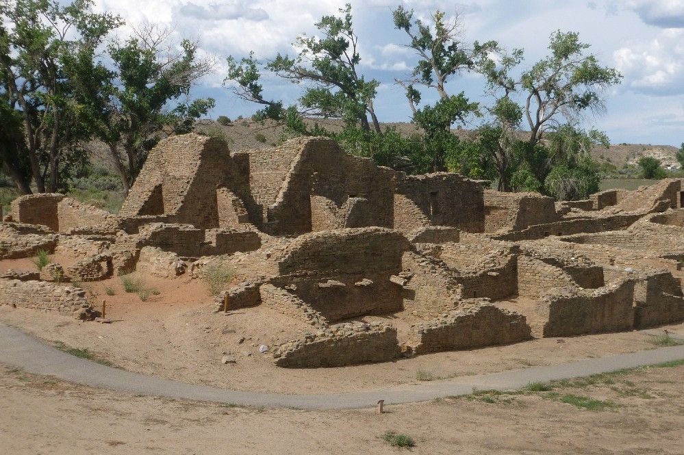
This is a large section of the West Ruin:

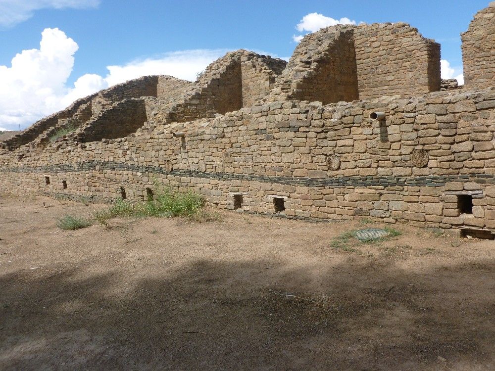
The western wall of the West Ruin includes a band of dark green stones.

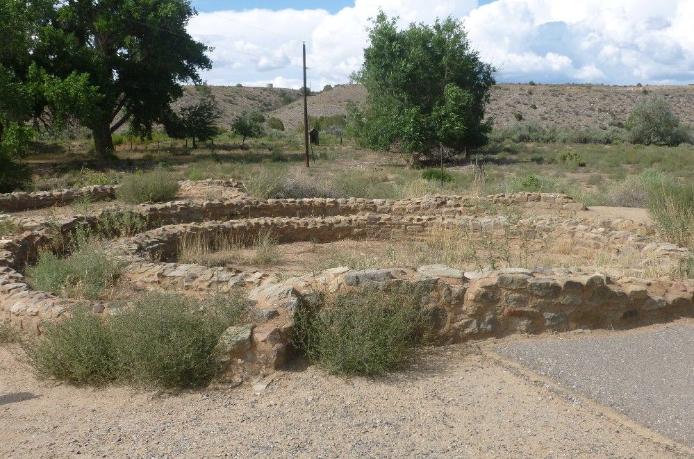
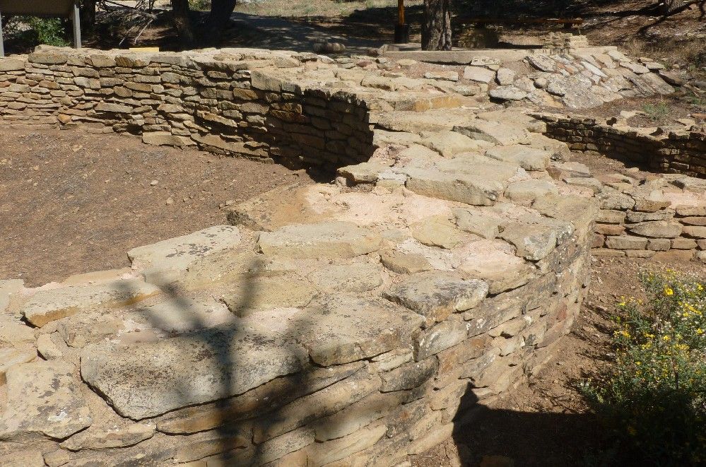
As with Chimney Rock, this was a return visit eight years after the first.  I don't think the structure in the next picture had been open to the public during my first visit.  It is the remains of a circular building with three concentric walls, and is located a hundred or so feet northwest of the West Ruin.

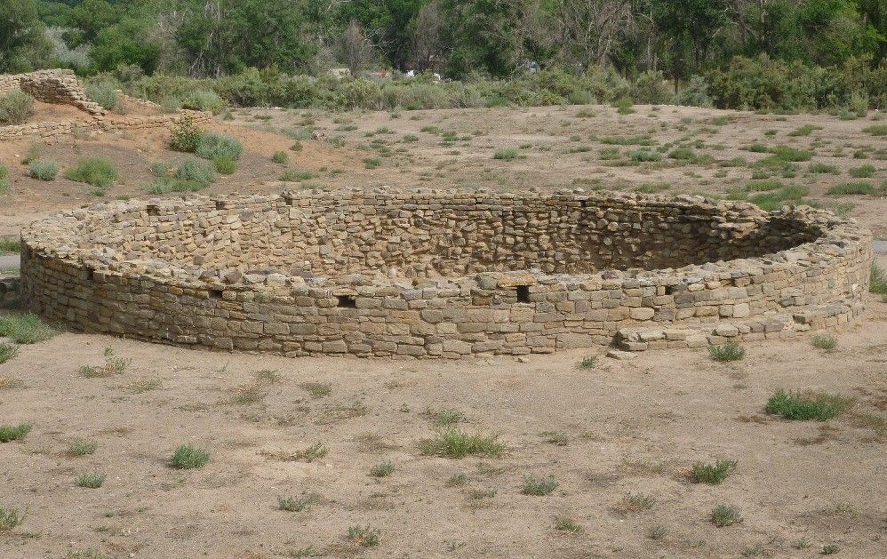
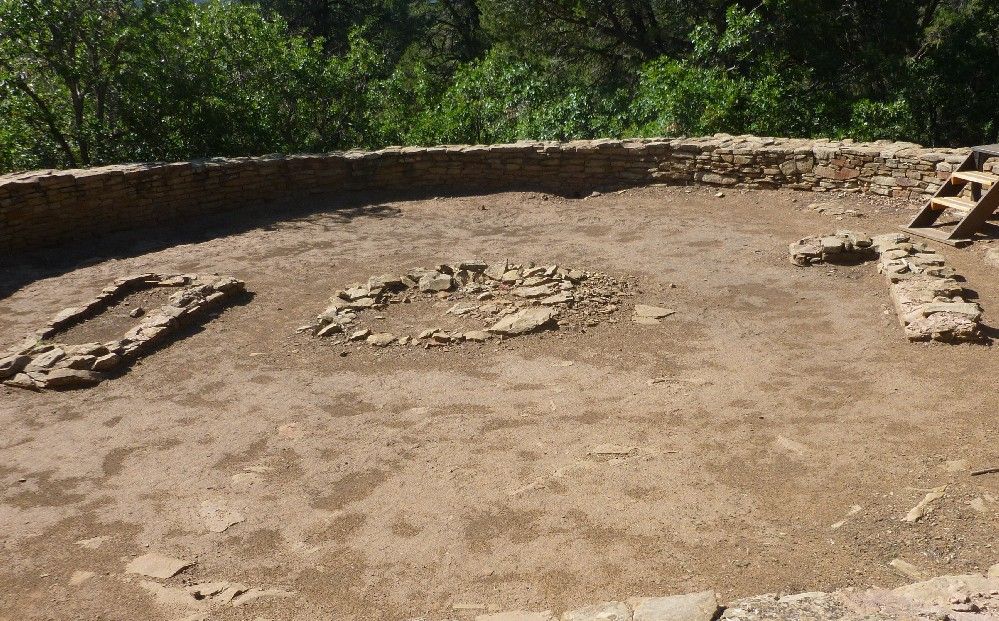
This is the smaller of two kivas that are in a plaza next to the West Ruin:

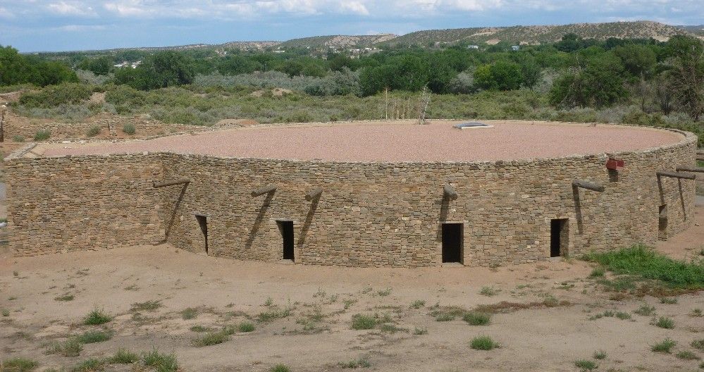
The larger kiva, known as the Great Kiva, has been reconstructed in an attempt to restore its original form and appearance.  Notice the wooden beams sticking out of the circular wall.

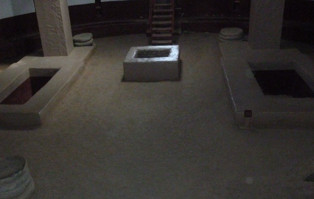
The inside of the Great Kiva was also reconstructed, except for the square columns replacing wooden poles, which each rested on a stack of four round flat stones, which were left on the floor.

Tuesday, August 20, 2013

Chimney Rock is the name a rock formation, a nearby Ancestral Pueblo village, and the National Monument which includes both, located near the intersection of Colorado highway 151 and U.S. highway 160.  The site is generally considered by archaeologists to be an outlier of the culture centered in Chaco Canyon, located in northern New Mexico.  Chimney Rock and some nearby related settlements would thus form the northeast corner of the Chaco Culture area.  The Chaco, in turn, is considered to be one of three "provinces" of the Ancestral Pueblo, or Anasazi culture, the latter term sometimes frowned upon by their modern descendants.

During my first visit to Chimney Rock in 2005, I saw that the area was largely forested, and thus had to rethink my previous conception of the Anasazi as being desert-dwellers.  This time I pretty much knew what to expect, but still wished to make a return visit.  I was lucky enough to arrive about 10 minutes before the start of a guided tour.  After checking in at the small visitor's center, the other visitors and myself were given the option of driving the two and a half-mile road to the upper parking lot, or riding with the guide.  I chose the latter option, gladly leaving my rented car in the lower area.

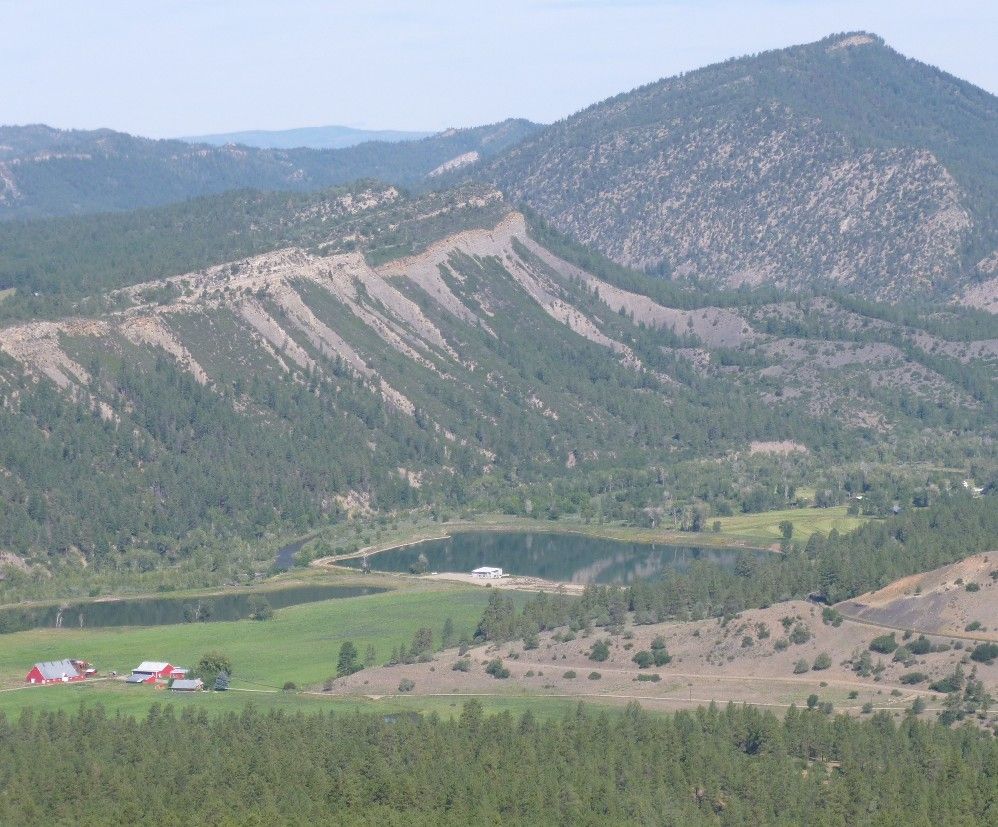
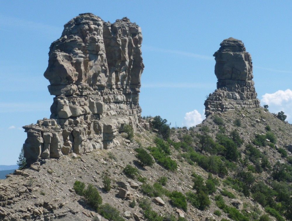
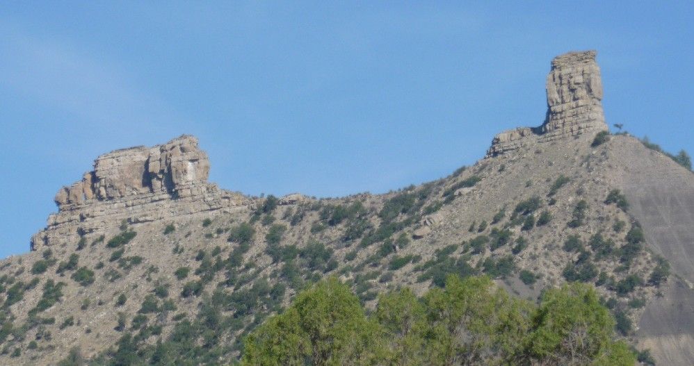
Before arriving, I took this first picture from just off state highway 151.  To the right, the taller rock formation is Chimney Rock.  The formation to the left is Companion Rock.


From the upper parking lot, a paved trail leads around the lower village.  This is the interior of the kiva in the lower village.

Some of the walls of a house in the lower village:

The area known as the lower village is still above most of the surrounding landscape.  Here's the view facing northwest:

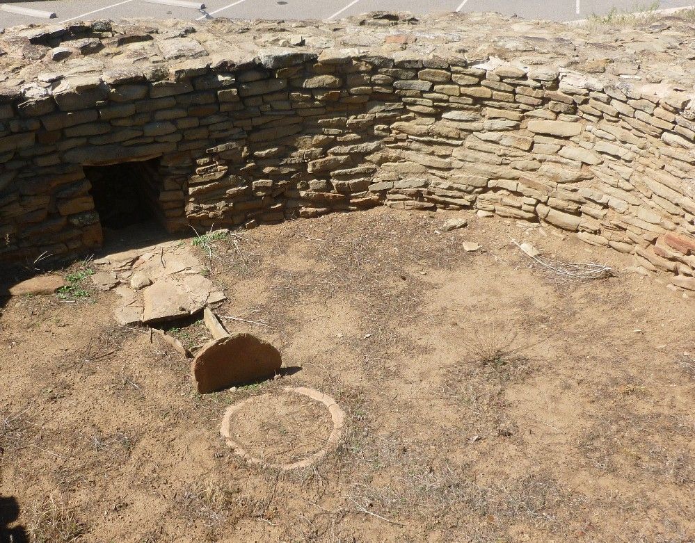
Just above the upper parking lot is another kiva.  The interior of this one includes a hole in the side wall, used to provide air to a fire burning in the small circle in the center of the floor.  The upstanding rock (seen mostly on its shaded side) next to the circle kept air from blowing directly on the fire and putting it out.  Such features were fairly common for Chacoan kivas.

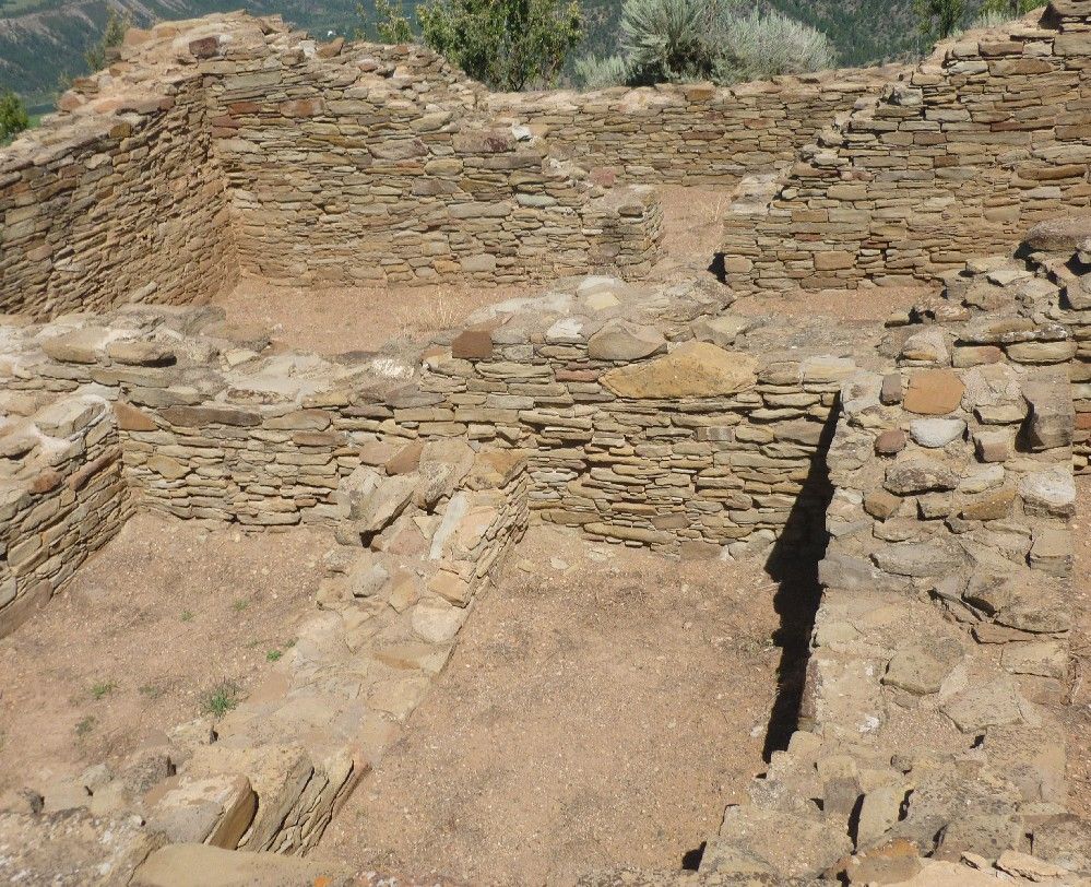
We hiked to the upper village on a trail that led uphill along the narrow ridge line, with steep drops on either side.  Fortunately, the ridge widened out around the upper village.  These are some rooms in the main house in the upper village.

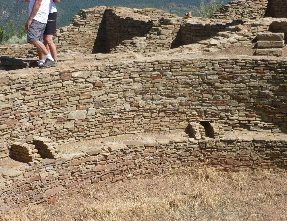
The upper village also has a kiva, which includes a bench around the outer wall.  The two pairs of armrest-like structures were used to hold the wooden posts that held up the roof.

From the upper village, it was easy to take this shot of Companion Rock (L) and Chimney Rock (R).  The gap between the two, as seen from the upper village, is where the moon rises during its major standstill, which occurs about every 18 years.

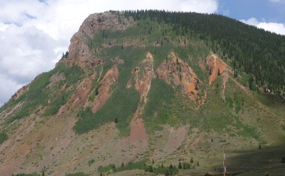
As stated in Part 1, the Durango & Silverton Narrow Gauge Railroad was built in 1881 and 1882, to run between those two places.  After a ride that lasted just over three and a half hours, with a maximum speed of 18 miles per hour (according to one of the conductors), we arrived in Silverton.  The tracks ran along one of the town's streets, which is where the train stopped.  To the west of the town is this mountain:

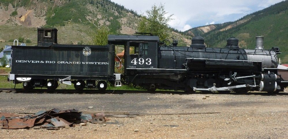
Near the Silverton depot was this old Denver & Rio Grande Western locomotive:

On was way back, I could look out and see the back of the train.

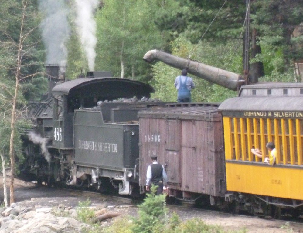
The train stopped at several places to take on water.  This one was on the way back.

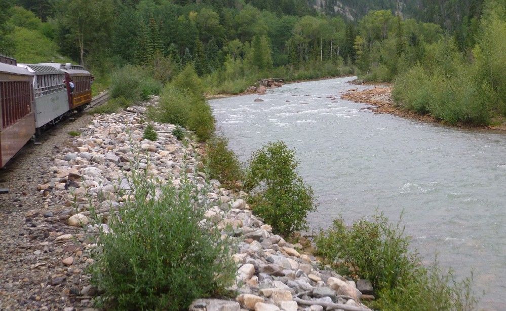
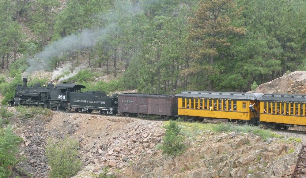
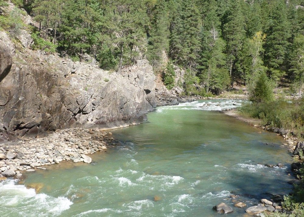
This last photo may look like it was taken from some place off the train, but instead it was rounding a bend above the Animas River gorge, thus making this shot possible.

The Durango & Silverton Narrow-Gauge Railroad runs between the two places after which it was named, and is a remnant of a larger rail system called the Denver & Rio Grande.  Originally built to carry supplies to miners in Silverton, the D&S is now used mainly for tourism.  It generally follows the course of the Animas River, but in some places where it flows through a gorge, the railroad runs up to several hundred feet above it.  The D&S was built between 1881 and 1882, and as our one of the conductors warned us, "It feels like it."

Here's the steam locomotive, ready to pull the train out of Durango.


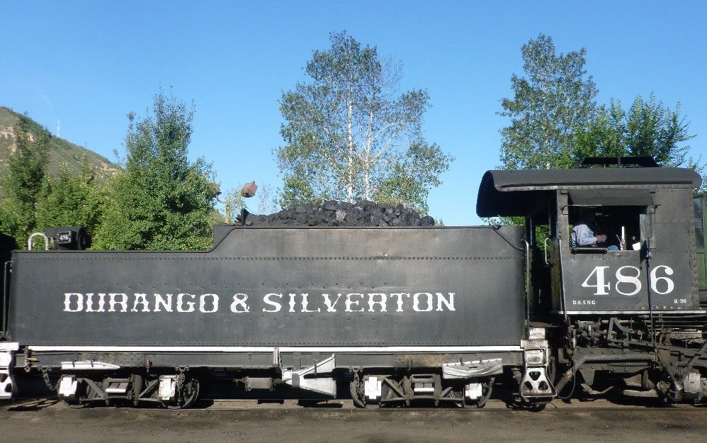
The back of the locomotive and the coal tender:

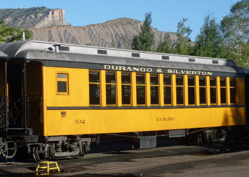
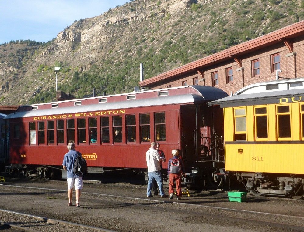
One of the coaches, with a mountain ridge behind it:

The passengers boarding another coach:

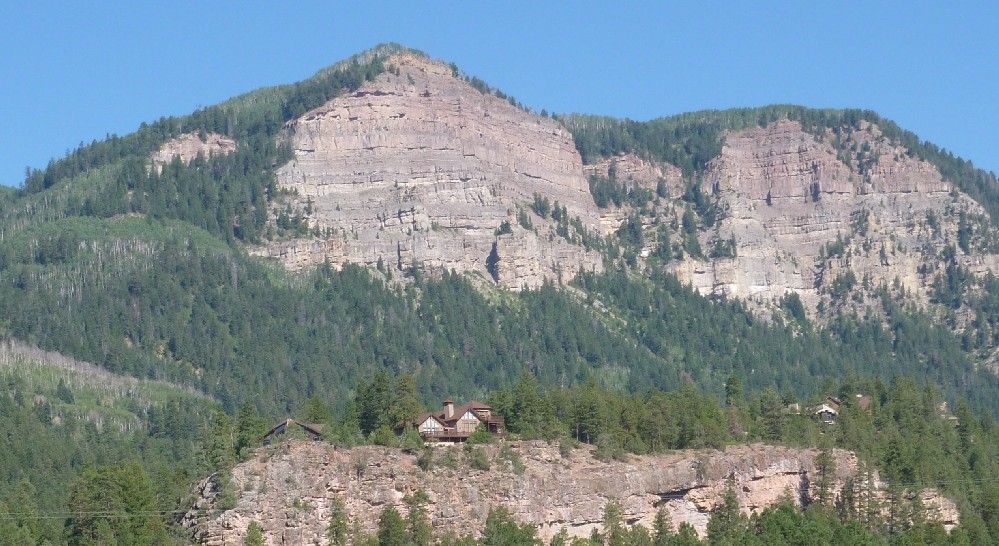
While heading north of Durango, on our left was this house on a hill, with some larger hills behind it.

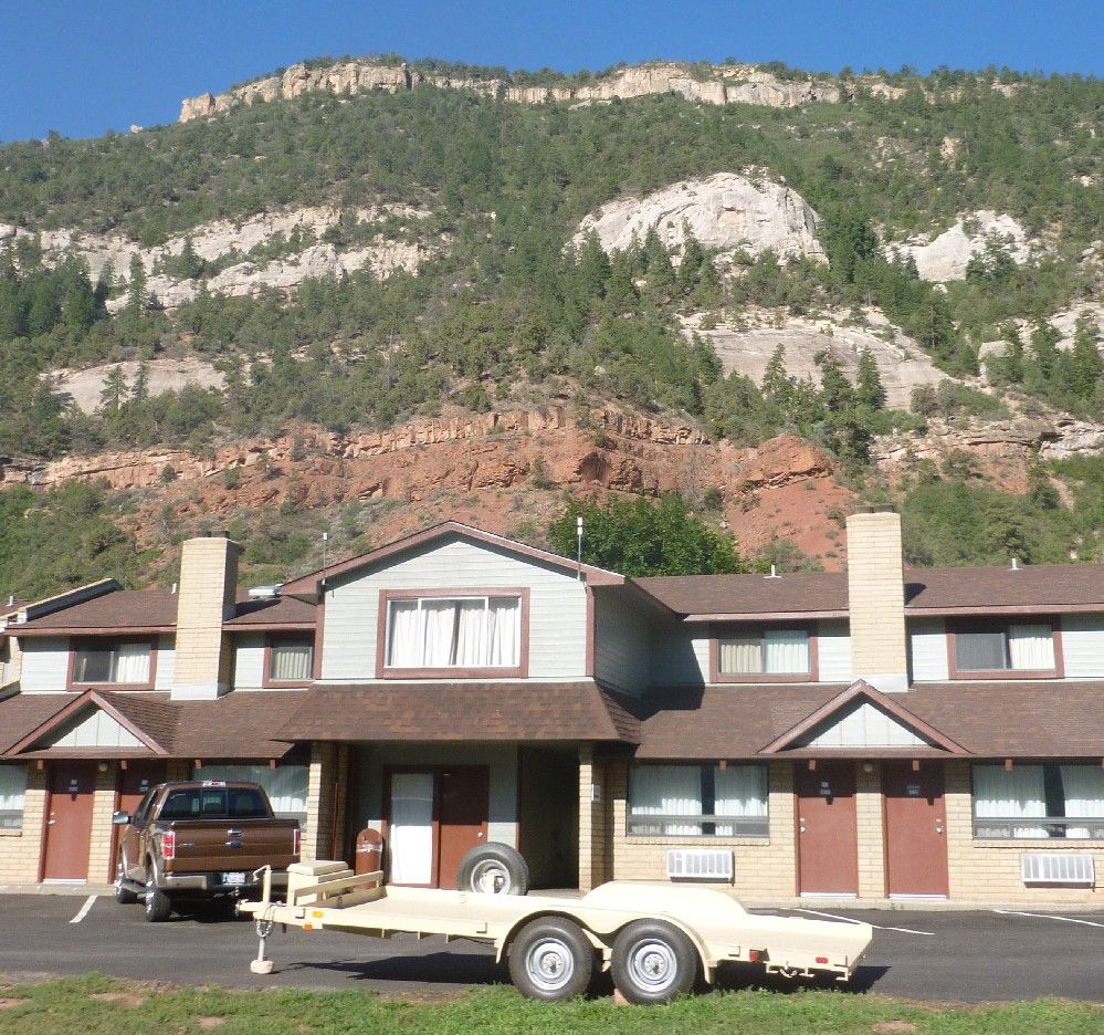
Further along the way was the Iron Horse Inn and a multicolored mountain.

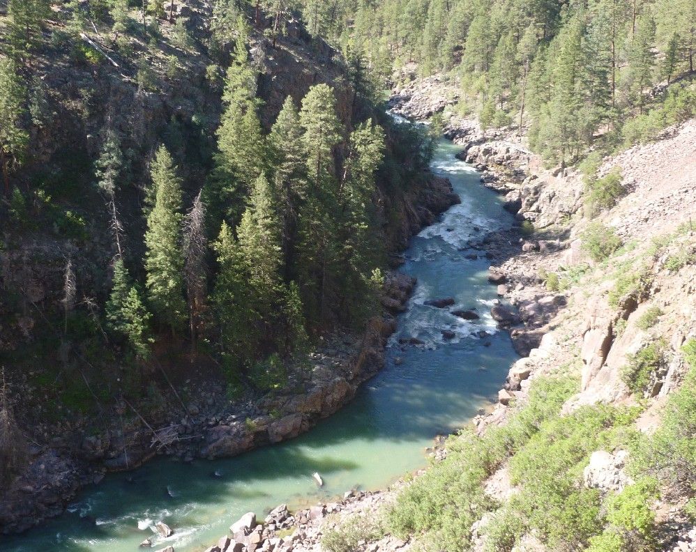
Looking down into the Animas River gorge:

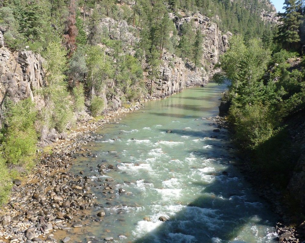
Some rapids along the Animas, looking north and upstream:

And finally, some more rapids in the Animas, seen while going over a bridge, the shadow of which is clearly recognizable:

Saturday, August 17, 2013

In the annals of history, Constantinople is known for being the second capitol of the Roman Empire, established by Emperor Constantine in a city which had been known as Byzantium, becoming the capitol of the Byzantine Empire after Rome fell, and for falling to the Ottoman Turks over 1,100 years later, who gave the city its third name, Istanbul.  What is less well known is that conquering Constantinople was a goal of Muslim Arabs in the seventh and eight centuries after they had expanded out of the Arabian peninsula, roughly three centuries before Christians in Europe launched the Crusades.  In 674, the Arabs besieged Constantinople for the first time.  This first siege lasted about four years.

In 717, the caliph Suleiman, who ruled in Damascus, sent 120,000 warriors across Asia Minor and 80,000 more fighting men by sea, with the goal of meeting at Constantinople and laying siege.  He put his brother Maslama in charge of his forces, giving him the command, "Stay there until you conquer it or I recall you."  During the siege, Suleiman died and was replaced by Omar II, who recalled Maslama and called off the siege about a year after it began.

Read the story at National Review.  Some more information may be found at Byzantine Battles and Graphic Firing Table.

Thursday, August 15, 2013

A new species of mammal living in the cloud forests of South American's Andes Mountains has been identified, and given the name "olinguito".  The name is derived from that of another species, "olingo", due to its similar appearance and smaller size.  Olinguitos also differ from olingos in fur color and natural habitat, living at elevations ranging from 5,000 to 9,000 feet above sea level.  Weighing about two pounds, the olinguito is smallest known member of the raccoon family.

Read more at the Washington Post, ABC News, the Chicago Tribune, National Geographic and Smithsonian(dot)com.

Wednesday, August 14, 2013

This one comes from CNS News via Blogs For Victory.

I've heard of "new math", but this might give term new meaning.  How is it that the federal government ran a $98 billion deficit in July, but the overall federal debt stayed exactly the same for the entire month?  According to the CNS News link above:
The FMS said that the deficit went up $98 billion ($97,594,000,000) in the Monthly Treasury Statment for July, which it released on Monday. 
At the same time, the FMS said the debt stayed at exactly $16,699,396,000,000 in its Daily Treasury Statements, which are published every business day. The Daily Treasury Statements show the daily value of the federal government debt that is subject to a legal limit set by Congress.
Big Foots Place BlogThe owner of this website is a participant in the Amazon Services LLC Associates Program, an affiliate advertising program designed to provide a means for sites to earn advertising fees by advertising and linking to Amazon properties including, but not limited to, amazon.com, endless.com, myhabit.com, smallparts.com, or amazonwireless.com.